
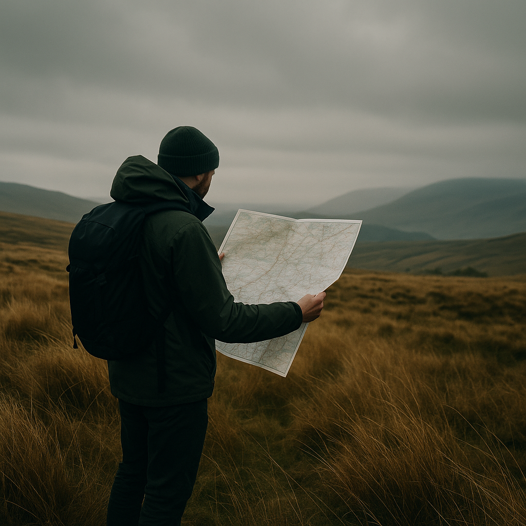
There is a particular kind of confidence that comes from standing on a featureless moorland in poor visibility and knowing exactly where you are. No signal, no battery, no fuss. Just you, a map, a compass, and the ground beneath your boots. That confidence does not arrive by accident. It is built through practice, and it is the single most important thing separating a hiker who is comfortable in remote terrain from one who is not. These are the hiking navigation skills every person heading into the hills should own before they go anywhere truly wild.
Why Map Reading Still Matters More Than Your Phone
Mobile maps are brilliant as a backup. I use them myself. But relying on a phone as your primary navigation tool in remote country is a gamble you do not want to lose. Batteries drain faster in cold weather, screens become impossible to read in rain, and signal disappears the moment you need it most. The 1:25,000 Ordnance Survey Explorer maps remain the gold standard for UK hillwalking. Every contour, every crag, every footpath, every stream crossing is there in precise detail. Buy the paper version. Carry it in a map case clipped to your chest. Know how to use it before you leave the car park.
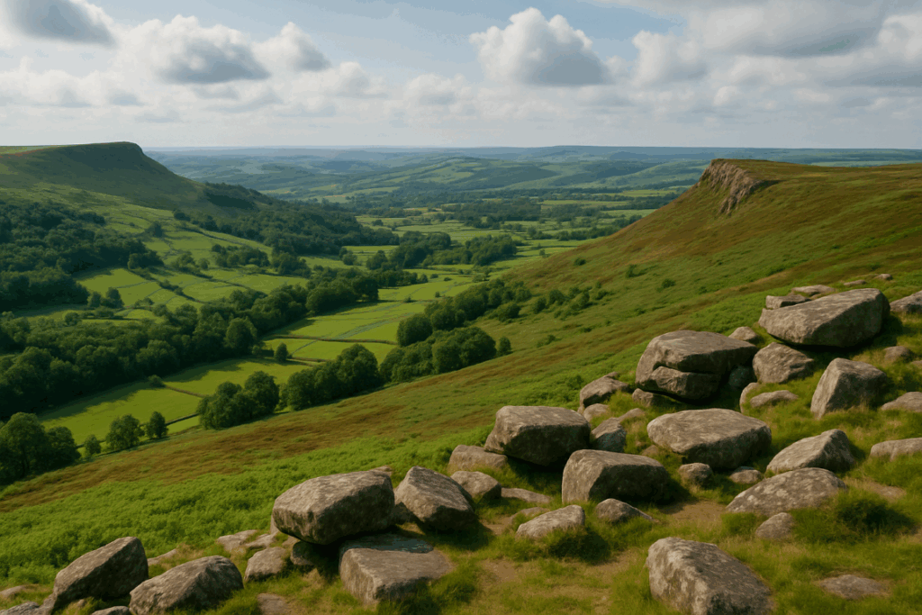
Start by understanding the scale. On a 1:25,000 map, 4 cm equals 1 km on the ground. That is the map most walkers use in the hills. The 1:50,000 Landranger series covers larger areas but sacrifices detail. For Dartmoor, the Cairngorms, the Brecon Beacons, or anywhere with complex terrain, always go for the more detailed sheet. Ordnance Survey’s own guidance on navigating with a map is a solid starting point if you want to sharpen the basics further.
Understanding Contour Lines: Reading the Shape of the Land
Contour lines are the heartbeat of a topographic map. Once you can read them fluently, the map stops being a flat sheet of paper and becomes a three-dimensional model of the landscape you are about to walk through. On a 1:25,000 OS map, contour lines are drawn at 10-metre vertical intervals. The closer together the lines, the steeper the slope. Widely spaced lines mean gentle, easy ground.
Learning to spot a ridge versus a valley on paper is one of the most useful hiking navigation skills you can develop. A ridge shows as contours curving away from the high ground (the V points downhill). A valley shows contours curving towards the high ground (the V points uphill). Cirques, cols, spurs and re-entrants all have their own signatures. Spend time matching map symbols to real terrain. Pick a familiar hill first. Study the map at home, then walk it and see how the ground matches what you expected.
How to Use a Compass Properly
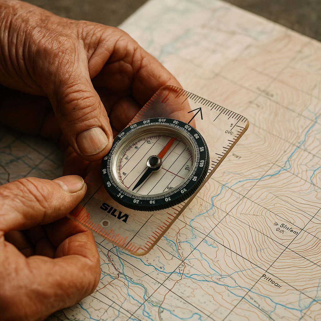
A baseplate compass such as the Silva Expedition 4 or the Suunto A-10 is what you want. They are affordable, robust, and entirely reliable. Learn three fundamental techniques.
Taking a Bearing from the Map
Place the edge of your compass along the line between your current position and your destination. Rotate the bezel until the orienting lines align with the north-south grid lines on the map (red to north). Add the magnetic declination for the UK, which in most of mainland Britain is currently around 1-2 degrees west. Then hold the compass level, rotate your body until the red needle sits in the orienting arrow, and walk in the direction of travel arrow. That is it. Simple, reliable, and it works in zero visibility.
Taking a Bearing from the Ground
Point the compass direction-of-travel arrow at a distant landmark. Rotate the bezel to box the needle. Read the bearing. Transfer it to your map to confirm your position or check your heading. This is called a resection when you use two or more bearings to fix your location, and it is enormously useful on open hillsides where features are sparse.
Walking on a Bearing
In mist or darkness, pick an intermediate object in the direction of travel, walk to it, then repeat. Do not try to stare at the compass the entire way. You will veer off course. Pick a tussock, a fence post, a boulder. Reach it. Re-check. Carry on.
Pacing and Timing: Knowing How Far You Have Walked
Two simple tools help you measure distance on the ground without a GPS. The first is pacing. Count your double paces (every time your right foot hits the ground) over a measured 100 metres on flat terrain. Most people take around 62-65 double paces per 100 metres. Adjust for uphill, downhill, and boggy ground. Pace beads (available from most outdoor shops for a couple of pounds) help you track distance over longer legs.
The second is Naismith’s Rule. Allow one hour for every 5 km of horizontal distance, plus one additional minute for every 10 metres of ascent. It is a rough formula but a surprisingly accurate one on most British terrain. On Dartmoor in good conditions you might move faster. In deep heather on the Cairngorms plateau, you might move slower. Adjust accordingly, and always build buffer time into remote routes.
Route Finding in Featureless Terrain
High plateaux, fog-bound moorland, and snow-covered hillsides strip away the visual cues most walkers unconsciously rely on. This is where your hiking navigation skills are truly tested. The key is to break the route into short, measurable legs between clearly identifiable features. Attack points (a distinctive boulder, a stream junction, the edge of a plantation) let you confirm position before committing to the next leg.
Catching features are equally important. These are lines or landmarks that tell you when you have gone too far. A wall running east-west, a stream, a forest boundary. If you hit your catching feature without reaching your target, you know to stop and reassess. Plan these into every section of a remote route, not just the tricky bits.
When to Use Digital Backup Methods
A GPS device or a phone running OS Maps with an offline download is genuinely useful as a secondary tool. The key word is secondary. I keep my phone in an inside chest pocket (warmer, battery lasts longer), switched on flight mode to conserve charge, and drop a waypoint at the start of every walk. The Harvey Maps app and OS Maps both allow pre-downloaded maps that work offline. That is worth doing before any remote outing.
What you should avoid is treating a digital fix as a substitute for knowing where you are. A GPS tells you a grid reference. Understanding what that grid reference means on the ground, which slope you are on, which valley is below you, which way the safe descent lies, requires you to read the map. The two work together, not in isolation.
Practical Ways to Build Confidence
The fastest way to improve is to navigate somewhere familiar without following a path. Take a map to your local common, park, or low-level forest, turn off your phone, and navigate purely by map and compass for an hour. It feels strange at first. That strangeness fades quickly with repetition. Mountain training courses run by the Mountain Training Association give structured, assessed learning if you want to progress to winter navigation or leadership.
Good kit matters too, but it does not need to be expensive. A decent compass, an OS map, a pencil for marking your route, and a waterproof map case are the essentials. Everything else is bonus. Interestingly, the impulse to prepare your kit properly extends beyond the hills. Whether you are prepping a rucksack for a remote route or sorting out a building project that requires specialist work like asbestos floor removal before renovating an old property you use as a base, doing things properly and safely from the outset always saves trouble later.
The Bigger Picture: Why These Skills Protect Wild Places
Hikers who navigate well tend to stick to planned routes, avoid causing erosion through shortcuts taken in confusion, and respond calmly to unexpected conditions. They also need rescuing less often. Mountain Rescue teams in England and Wales carry out thousands of call-outs each year, and a meaningful proportion involve walkers who were poorly equipped and unprepared for the terrain. Building strong hiking navigation skills is not just about personal safety. It is about respecting the mountain, the environment, and the volunteers who give up their time when things go wrong.
Get out on the map. Practise in low-stakes places. Then take those skills somewhere that genuinely demands them. The hills will reward you for it.
Frequently Asked Questions
What is the best compass for hiking in the UK?
A baseplate compass such as the Silva Expedition 4 or Suunto A-10 is ideal for most UK hillwalking. They are lightweight, accurate, and cost between £15 and £35 at most outdoor retailers. Avoid purely digital compasses as a primary tool in remote terrain.
Which OS map scale is best for hiking in remote UK terrain?
The 1:25,000 Ordnance Survey Explorer series is the preferred choice for remote hillwalking, as it shows 10-metre contour intervals and fine detail such as field boundaries, crags, and bridleways. The 1:50,000 Landranger maps cover larger areas but lack the same level of ground detail.
How do I read contour lines on a walking map?
Contour lines join points of equal height, drawn at 10-metre intervals on 1:25,000 OS maps. Closely spaced lines indicate steep ground; widely spaced lines indicate gentle slopes. V-shapes pointing uphill indicate valleys; V-shapes pointing downhill indicate ridges or spurs.
Can I navigate in the hills using only my phone?
A phone running an offline map app such as OS Maps or Harvey Maps is a useful backup but should never be your only navigation tool in remote terrain. Cold weather drains batteries quickly, screens can be difficult to read in rain, and there is no substitute for knowing how to read a paper map and compass.
How can I improve my hiking navigation skills quickly?
The most effective practice is to navigate on familiar low-level ground without following a path, using only a map and compass. Start on a local common or forest. Mountain Training Association courses also offer structured progression into more advanced navigation, including night and winter techniques.