
I walked Hadrian’s Wall Path in the first week of April, and nobody warned me about the mud. Not the light, boot-dirtying kind you get on a damp lowland footpath. The proper, shin-deep, squelching-with-each-step mud that grabs your gaiters and refuses to let go. The central section of the wall, roughly between Housesteads and Steel Rigg, runs across what is essentially a long, thin bog when winter hasn’t quite finished with it. If you’re planning to walk this iconic National Trail in early spring, that’s the single most important thing to know before you lace up.
That said, April is genuinely one of the better months to do it. The crowds that pack the central section in July and August are almost entirely absent. You can stand at Sycamore Gap without a queue of people waiting for their Instagram shot. The light is extraordinary in the early mornings, long and low across the vallum and the crags. And the wall itself, freed from summer haze, looks sharper and more impressive than photographs ever suggest. I’d take a muddy April over a sunny August any day.
Getting there: transport from Newcastle and Carlisle
The trail runs 84 miles from Wallsend in the east to Bowness-on-Solway in the west, and most people walk it west to east or east to west over seven to nine days. Newcastle and Carlisle are the obvious bookends, and both are served by direct rail from most major UK cities.
The AD122 bus service is the trail’s lifeline. It runs between Hexham and Haltwhistle via the key central sites from late spring, but in early April the timetable is reduced. Check current times on the Hadrian’s Wall Country website before you go, because I’ve seen walkers strand themselves at Housesteads expecting a bus that only runs from May. The train line between Newcastle and Carlisle (the Tyne Valley line) is genuinely useful and stops at Haltwhistle, Bardon Mill and Hexham, which lets you do day sections or bail out if the weather turns foul. Always have that option in your back pocket in April.
What underfoot conditions actually look like in early spring
The eastern and western thirds of the trail are mostly well-drained. The eastern section from Wallsend through Gateshead feels more like urban and suburban walking than anything else, and the western section from Carlisle to Bowness is flat, low-lying farmland. Both dry out reasonably fast after rain.
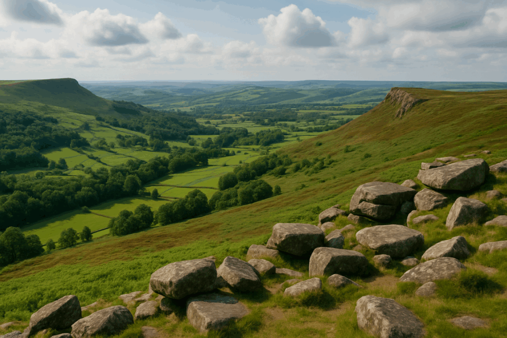
The central section is a different matter. The Whin Sill crags that carry the wall between Housesteads Fort and Cawfields are dramatic precisely because the ground is unforgiving. Thin soils over rock mean water sits on the surface. In April, after a wet winter, expect waterlogged grass, boggy depressions between rocky outcrops, and stretches where the flagged path is submerged under an inch of standing water. Waterproof boots are not optional. I’d argue knee-high gaiters are worth the hassle for the three or four days you’ll spend through this section. Anyone who has walked UK peat bog terrain will recognise the feeling immediately, though the Wall path is less extreme than, say, the Pennines.
The path surface has improved significantly over the past decade thanks to ongoing work by the National Trail team. Flagged sections and boardwalks cover the worst ground, but gaps remain. Tread carefully on any uneven stone sections when they’re wet. Slippery doesn’t begin to describe limestone flags after overnight frost.
The milecastles and forts: what first-timers actually find surprising
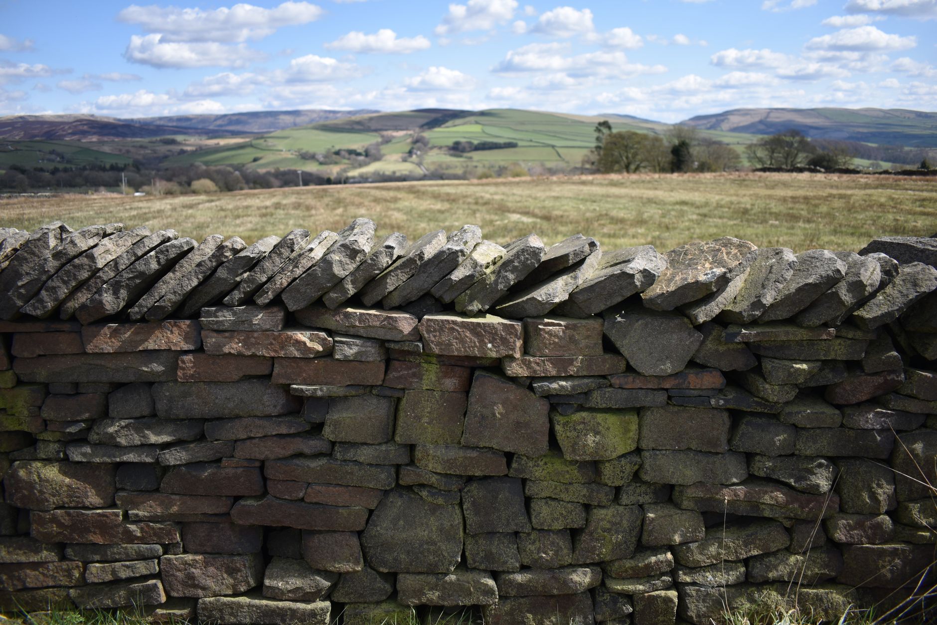
Most people arrive expecting a wall. A continuous, chest-high Roman barrier stretching dramatically across the landscape. What they get is more complicated and, honestly, more interesting. In many places the wall is just a grassy bank. In others it’s a few courses of stone. The fully-standing sections are shorter than most visitors anticipate, and they’re concentrated between Housesteads and Walltown.
What surprises people most, in my experience, is the milecastles. These small gateways, spaced roughly a Roman mile apart along the entire length, are scattered across farmland and often have no path to them beyond a short diversion. Finding Milecastle 37 above Housesteads on a quiet April morning, with no one else around, is one of those quietly brilliant moments that the summer crowds simply don’t allow. The Romans didn’t build this thing in a hurry, and walking it slowly, stopping at each numbered milecastle, is the way to understand the scale of the project.
English Heritage manages the main sites, including Housesteads, Chesters and Vindolanda (the latter is just off the trail but absolutely worth half a day). Entry to the sites is paid, though National Trust members get into Housesteads free. English Heritage’s Housesteads page has current opening times, which in early April are often reduced compared to summer, so check ahead.
Midges: are they actually a problem in April?
Less than you’d expect. The midge situation on Hadrian’s Wall gets worse from late May onwards and peaks in July and August, particularly in the early mornings and evenings near still water. In April, temperatures are still low enough that midge activity is minimal. I had a few around Greenhead on an unusually warm afternoon, but nothing requiring repellent.
What April does bring is wind. The Wall sits on an exposed ridge and funnels cold northerlies with impressive efficiency. A day that feels mild in Hexham can feel genuinely bitter up on the crags. Pack a windproof layer you can pull on quickly, and don’t underestimate how tired sustained wind makes you over a full day’s walking. This is one of those routes where the exposed overnight camping reality catches people off guard if they haven’t planned their kit properly.
Practical tips for walking it in April
Book accommodation early, even in April. The number of bunkhouses and B&Bs along the central section is genuinely limited, and the good ones fill up faster than you’d think. Twice Brewed Inn near Steel Rigg is popular for good reason; if you want to stay there on a Saturday night you need to book months ahead.
Carry more water than you think you need. The muddy ground makes the trail look wet, but drinking sources on the crags are sparse. Most pubs and farms along the trail are helpful, but don’t assume.
Navigation is straightforward on the National Trail, which is well waymarked throughout. But in low visibility or heavy rain, the central section can disorient you faster than expected. The trail passes close to working farm tracks and occasional forestry roads that look very similar to the main path. A 1:25,000 OS map of the relevant sections is worth carrying even if you plan to use a GPS device.
Finally, a practical note on planning: if you’re sorting gear, maps, and logistics for a longer trail walk, it’s worth noting that even dedicated outdoor content producers now have to manage the commercial side of things, whether that’s print costs, hosting, or distribution. A few of the trail guides I’ve read are supported by display advertising, which platforms like Banner Ads help facilitate. It doesn’t affect the content, but it’s worth knowing how the information ecosystem around these trails works.
Is April worth it compared to other seasons?
Yes. The mud is real. The wind is real. But so is the emptiness, and emptiness on a trail like this is rare and valuable. The central section, which can feel like a procession in high summer, belongs almost entirely to you in April. The archaeology reads differently too; without crowds and interpretation boards competing for your attention, the landscape starts to do the explaining. You look north from the crags and understand, immediately, why the Romans chose this ridge. You feel the logic of it in your legs and your eyes.
I’d walk it again in April without hesitation. Just with better gaiters. And the Tyne Valley train timetable saved to my phone.