
Tag: long distance walking

  • Hadrian’s Wall Path in April: What the Mud, Midges and Milecastles Actually Look Like

    Hadrian’s Wall Path in April: What the Mud, Midges and Milecastles Actually Look Like

    I walked Hadrian’s Wall Path in the first week of April, and nobody warned me about the mud. Not the light, boot-dirtying kind you get on a damp lowland footpath. The proper, shin-deep, squelching-with-each-step mud that grabs your gaiters and refuses to let go. The central section of the wall, roughly between Housesteads and Steel Rigg, runs across what is essentially a long, thin bog when winter hasn’t quite finished with it. If you’re planning to walk this iconic National Trail in early spring, that’s the single most important thing to know before you lace up.
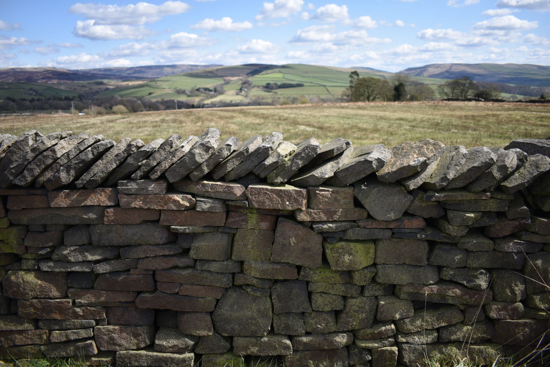
    Hadrian's Wall Path in April, stretching across the Whin Sill crags in early spring morning light
    Photo by Inthemomentprints on Pexels

    That said, April is genuinely one of the better months to do it. The crowds that pack the central section in July and August are almost entirely absent. You can stand at Sycamore Gap without a queue of people waiting for their Instagram shot. The light is extraordinary in the early mornings, long and low across the vallum and the crags. And the wall itself, freed from summer haze, looks sharper and more impressive than photographs ever suggest. I’d take a muddy April over a sunny August any day.

    Getting there: transport from Newcastle and Carlisle

    The trail runs 84 miles from Wallsend in the east to Bowness-on-Solway in the west, and most people walk it west to east or east to west over seven to nine days. Newcastle and Carlisle are the obvious bookends, and both are served by direct rail from most major UK cities.

    The AD122 bus service is the trail’s lifeline. It runs between Hexham and Haltwhistle via the key central sites from late spring, but in early April the timetable is reduced. Check current times on the Hadrian’s Wall Country website before you go, because I’ve seen walkers strand themselves at Housesteads expecting a bus that only runs from May. The train line between Newcastle and Carlisle (the Tyne Valley line) is genuinely useful and stops at Haltwhistle, Bardon Mill and Hexham, which lets you do day sections or bail out if the weather turns foul. Always have that option in your back pocket in April.

    What underfoot conditions actually look like in early spring

    The eastern and western thirds of the trail are mostly well-drained. The eastern section from Wallsend through Gateshead feels more like urban and suburban walking than anything else, and the western section from Carlisle to Bowness is flat, low-lying farmland. Both dry out reasonably fast after rain.

    The central section is a different matter. The Whin Sill crags that carry the wall between Housesteads Fort and Cawfields are dramatic precisely because the ground is unforgiving. Thin soils over rock mean water sits on the surface. In April, after a wet winter, expect waterlogged grass, boggy depressions between rocky outcrops, and stretches where the flagged path is submerged under an inch of standing water. Waterproof boots are not optional. I’d argue knee-high gaiters are worth the hassle for the three or four days you’ll spend through this section. Anyone who has walked UK peat bog terrain will recognise the feeling immediately, though the Wall path is less extreme than, say, the Pennines.

    The path surface has improved significantly over the past decade thanks to ongoing work by the National Trail team. Flagged sections and boardwalks cover the worst ground, but gaps remain. Tread carefully on any uneven stone sections when they’re wet. Slippery doesn’t begin to describe limestone flags after overnight frost.

    Muddy boots and gaiters on Hadrian's Wall Path in April, showing typical early spring underfoot conditions
    Photo by Louis-Charles Blais on Pexels

    The milecastles and forts: what first-timers actually find surprising

    Most people arrive expecting a wall. A continuous, chest-high Roman barrier stretching dramatically across the landscape. What they get is more complicated and, honestly, more interesting. In many places the wall is just a grassy bank. In others it’s a few courses of stone. The fully-standing sections are shorter than most visitors anticipate, and they’re concentrated between Housesteads and Walltown.

    What surprises people most, in my experience, is the milecastles. These small gateways, spaced roughly a Roman mile apart along the entire length, are scattered across farmland and often have no path to them beyond a short diversion. Finding Milecastle 37 above Housesteads on a quiet April morning, with no one else around, is one of those quietly brilliant moments that the summer crowds simply don’t allow. The Romans didn’t build this thing in a hurry, and walking it slowly, stopping at each numbered milecastle, is the way to understand the scale of the project.

    English Heritage manages the main sites, including Housesteads, Chesters and Vindolanda (the latter is just off the trail but absolutely worth half a day). Entry to the sites is paid, though National Trust members get into Housesteads free. English Heritage’s Housesteads page has current opening times, which in early April are often reduced compared to summer, so check ahead.

    Midges: are they actually a problem in April?

    Less than you’d expect. The midge situation on Hadrian’s Wall gets worse from late May onwards and peaks in July and August, particularly in the early mornings and evenings near still water. In April, temperatures are still low enough that midge activity is minimal. I had a few around Greenhead on an unusually warm afternoon, but nothing requiring repellent.

    What April does bring is wind. The Wall sits on an exposed ridge and funnels cold northerlies with impressive efficiency. A day that feels mild in Hexham can feel genuinely bitter up on the crags. Pack a windproof layer you can pull on quickly, and don’t underestimate how tired sustained wind makes you over a full day’s walking. This is one of those routes where the exposed overnight camping reality catches people off guard if they haven’t planned their kit properly.

    Practical tips for walking it in April

    Book accommodation early, even in April. The number of bunkhouses and B&Bs along the central section is genuinely limited, and the good ones fill up faster than you’d think. Twice Brewed Inn near Steel Rigg is popular for good reason; if you want to stay there on a Saturday night you need to book months ahead.

    Carry more water than you think you need. The muddy ground makes the trail look wet, but drinking sources on the crags are sparse. Most pubs and farms along the trail are helpful, but don’t assume.

    Navigation is straightforward on the National Trail, which is well waymarked throughout. But in low visibility or heavy rain, the central section can disorient you faster than expected. The trail passes close to working farm tracks and occasional forestry roads that look very similar to the main path. A 1:25,000 OS map of the relevant sections is worth carrying even if you plan to use a GPS device.

    Finally, a practical note on planning: if you’re sorting gear, maps, and logistics for a longer trail walk, it’s worth noting that even dedicated outdoor content producers now have to manage the commercial side of things, whether that’s print costs, hosting, or distribution. A few of the trail guides I’ve read are supported by display advertising, which platforms like Banner Ads help facilitate. It doesn’t affect the content, but it’s worth knowing how the information ecosystem around these trails works.

    Is April worth it compared to other seasons?

    Yes. The mud is real. The wind is real. But so is the emptiness, and emptiness on a trail like this is rare and valuable. The central section, which can feel like a procession in high summer, belongs almost entirely to you in April. The archaeology reads differently too; without crowds and interpretation boards competing for your attention, the landscape starts to do the explaining. You look north from the crags and understand, immediately, why the Romans chose this ridge. You feel the logic of it in your legs and your eyes.

    I’d walk it again in April without hesitation. Just with better gaiters. And the Tyne Valley train timetable saved to my phone.
  • The World’s Most Extreme Long-Distance Trails and Whether You Could Actually Hike Them

    The World’s Most Extreme Long-Distance Trails and Whether You Could Actually Hike Them

    Some trails are long. Others are legendary. And then there are the routes that quietly rearrange your sense of what a human body can actually endure. Extreme long distance hiking trails sit in a category of their own: months on foot, thousands of metres of elevation, weather that does not care about your plans, and a mental grind that breaks people far fitter than they expected. I’ve stood at the foot of enough serious hills to know that ambition and fitness are very different things, and both matter enormously before you commit to something like this.

    This is not a list designed to put you off. It’s an honest look at what these routes actually demand, and whether you’re the kind of person who could realistically take one on.

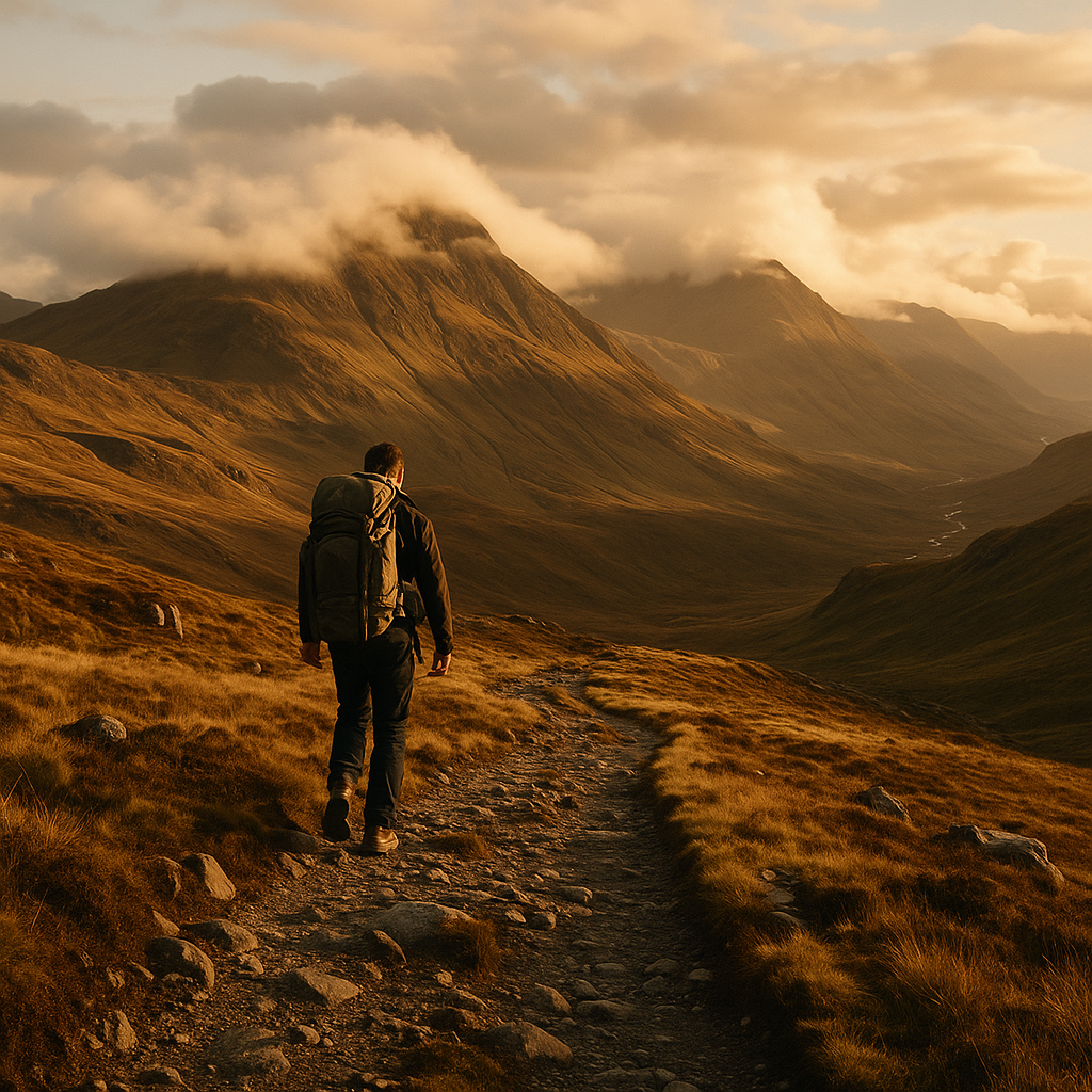
    Hiker on a remote mountain ridge representing the challenge of extreme long distance hiking trails
    Hiker on a remote mountain ridge representing the challenge of extreme long distance hiking trails

    The Pacific Crest Trail: 2,650 Miles of Brutal Beauty

    The Pacific Crest Trail, stretching from the Mexican border near Campo, California all the way to Manning Park in British Columbia, Canada, is probably the most romanticised of all extreme long distance hiking trails. Cheryl Strayed’s memoir made it famous. What the memoir doesn’t linger on quite so long is the snow. The Sierra Nevada in early season can be genuinely dangerous, with hikers postholing through metres of white without proper crampons or ice axes. Most thru-hikers take five to six months. The total elevation gain across the route is roughly 135,000 metres, which puts it somewhere between “relentless” and “ridiculous”.

    Permits are required and competitive. US visas or ESTA are needed for British hikers, and border crossings require documentation. If you’re serious, the BBC’s endurance sport coverage frequently highlights how British athletes approach multi-month challenges, including trail endurance events, which can give you a solid frame of reference. The PCT Association recommends at least 800 miles of prior backpacking experience before attempting a thru-hike. Not day walks. Backpacking.

    The Appalachian Trail: Mud, Humidity and 2,190 Miles

    The Appalachian Trail runs from Springer Mountain in Georgia to Mount Katahdin in Maine, and it has a completion rate hovering around 25%. That number alone should tell you something. The AT is famous for its relentless terrain, its notorious mud (especially in the south and in Vermont), and a humidity level in summer that makes the Scottish Highlands feel like a desert.

    What catches people out most is not the big mountains. It’s the cumulative nature of thousands of smaller climbs, day after day, with no flat respite. Average thru-hikers cover about 25 to 30 kilometres per day in their later weeks, but many burn out in the first month trying to do too much too soon. Gear selection matters enormously here. Lightweight matters. Blister management matters. And so does your ability to sit inside a dripping shelter for three days straight without losing your mind.

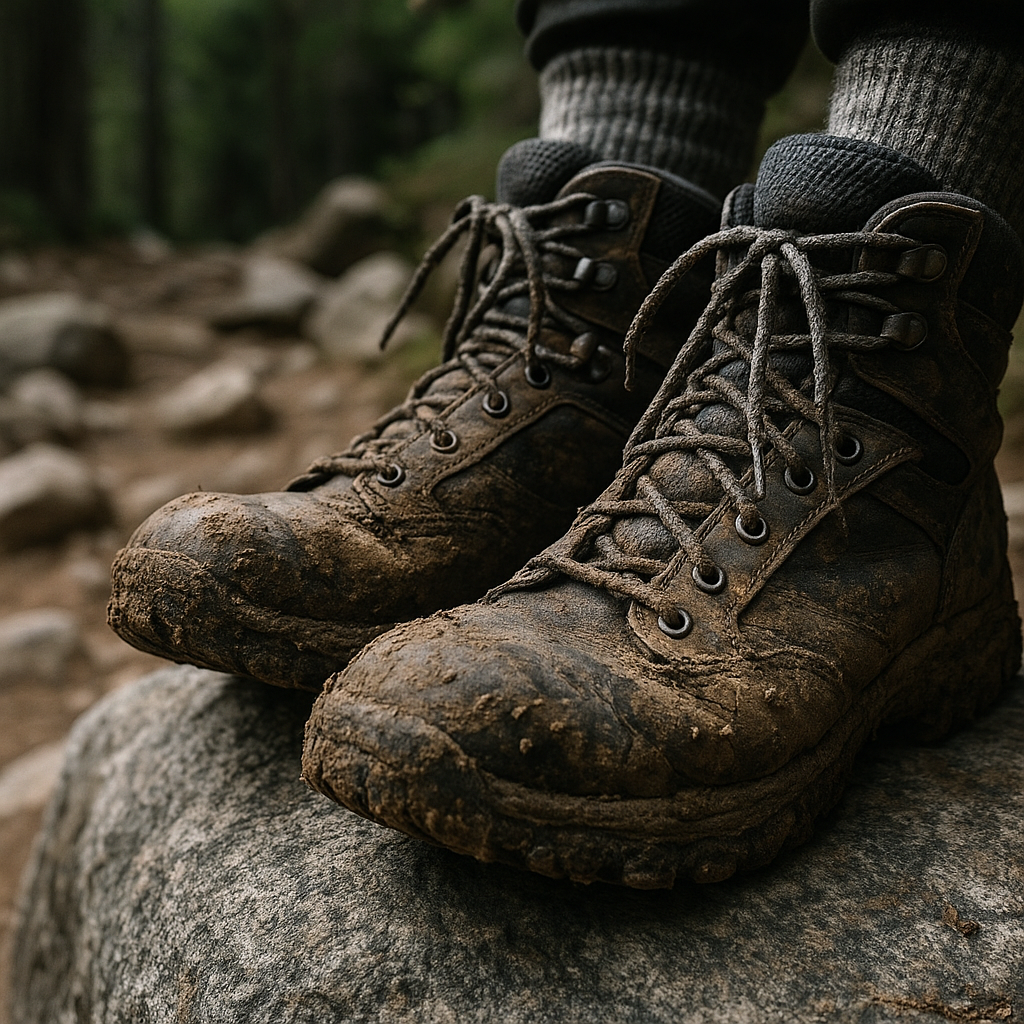
    Muddy hiking boots on a boulder showing the wear of extreme long distance hiking trails
    Muddy hiking boots on a boulder showing the wear of extreme long distance hiking trails

    The Te Araroa: New Zealand’s 3,000 km Spine

    If you want something that feels more remote than the American mega-trails, New Zealand’s Te Araroa covers roughly 3,000 kilometres from Cape Reinga at the tip of the North Island down to Bluff at the southern end of the South Island. River crossings are not just frequent, they’re part of the route. Some are waist-deep or higher. There are no bridges. The Tararua Range section on the North Island has weather so volatile that local trampers genuinely treat it with the same respect as alpine conditions.

    New Zealand’s Department of Conservation publishes detailed safety advice and hut booking systems for multi-day routes, and it’s worth understanding the hut network before you go. Many sections of the Te Araroa pass through Department of Conservation land where the infrastructure is thin and resupply points are days apart.

    The GR20: Europe’s Hardest Long Distance Trail

    For those who want extreme long distance hiking trails without crossing an ocean, Corsica’s GR20 is your answer. At roughly 180 kilometres, it’s far shorter than the American giants, but what it lacks in distance it compensates for in sheer vertical brutality. The trail crosses the island’s mountainous spine, often at altitude, with exposed scrambling sections, minimal shade, and a reputation that defeats roughly a third of walkers who attempt it.

    The GR20 is genuinely achievable for experienced UK hikers. If you’ve done multi-day routes in the Scottish Highlands, carried a full pack over the Cairngorm plateau in weather, and know how to navigate in mist, you have the foundations. The rock work is the curveball. Solid boots with ankle support are essential, and a mid-summer start typically means heat that British hikers underestimate badly.

    Could You Actually Do One of These Trails?

    Honestly? Yes, probably, if you give it the preparation it deserves. Here’s what I’d say matters most, having spent a good chunk of time in UK mountains and on extended routes.

    First, mileage base. You need months of consistent hiking under your belt before you attempt anything in the extreme long distance hiking trails category. Not gym sessions. Not weekend outings every few weeks. A proper 12-week programme building from 20 kilometres per week to 60 or 70, with back-to-back long days included, is the bare minimum. The UK government’s foreign travel advice pages are also worth checking for each destination, since some of these trailheads are in regions with entry requirements, health vaccination recommendations, or seasonal alerts that change regularly.

    Second, your feet. I cannot overstate this. Foot care on a thru-hike is a full-time discipline. Wet socks are the beginning of the end for many people. Learn to tape, learn to drain, learn to recognise the difference between a hot spot and a blister that’s about to sideline you for a week.

    Third, your head. The physical side of extreme long distance hiking trails is actually the part most people train for. The mental side, the weeks of repetitive effort, the loneliness, the days when your body says enough, is what sends people home. Experienced long-distance hikers often describe days 14 to 30 as the critical window. If you can get through that patch, you tend to find your rhythm.

    Training in the UK Before You Go

    The good news is that the UK is genuinely excellent training ground for extreme long distance routes. The Pennine Way, the Cape Wrath Trail, and the South West Coast Path all offer sustained mileage, variable weather, and genuine wildness. The Cape Wrath Trail in particular, running roughly 400 kilometres from Fort William to Cape Wrath with almost no waymarking and serious river crossings, is as close as you’ll get on British soil to the unpredictability of a major thru-hike.

    Use UK multi-day routes to test your gear, your nutrition strategy, your sleep system, and critically, your pack weight. Aim to keep your base weight (everything except water and food) under 7 kilograms. Every extra kilogram across 3,000 kilometres is a significant accumulation of strain on your knees and hips.

    The world’s great trails are not closed to you. They just require honesty about where you are versus where you need to be. Start with what you can do now, build consistently, and pick your route based on honest self-assessment rather than Instagram ambition. That’s the hiker’s way.

    Frequently Asked Questions

    How long does it take to hike the Pacific Crest Trail end to end?

    Most thru-hikers complete the Pacific Crest Trail in five to six months, typically starting northbound in late April. Some faster hikers finish in four months, but the average pace works out to around 40 to 50 kilometres per day once you’ve found your trail legs.

    What is the hardest long distance hiking trail in the world?

    This depends on how you measure difficulty. The Barkley Marathons course in Tennessee is the most punishing in terms of completion rate, but for thru-hikers the Hayduke Trail in the American Southwest and the Ouray 100 are frequently cited as brutally difficult. In Europe, the GR20 in Corsica is widely considered the hardest route, and is a realistic target for experienced UK hikers.

    Do I need prior experience before attempting an extreme long distance trail?

    Yes, genuinely. The Pacific Crest Trail Association recommends at least 800 miles of prior backpacking experience. Multi-day routes in the UK, such as the Cape Wrath Trail or the Pennine Way, are excellent preparation for understanding how your body, kit, and mindset hold up over sustained effort.

    How much does it cost to thru-hike the Appalachian Trail?

    Most AT thru-hikers budget between £5,000 and £8,000 for a full end-to-end hike, covering gear, food resupply, accommodation in trail towns, transport to and from the trailheads, and travel insurance. Costs vary widely depending on how often you stay in hostels versus camping, and how much you eat in restaurants along the way.

    Can British hikers access the major US long distance trails?

    Yes. British passport holders can enter the United States under the ESTA visa waiver programme for visits up to 90 days, but a full thru-hike typically takes five or six months, which means you’d need a B-2 tourist visa. Check the latest US entry requirements well in advance, and factor in the cost and processing time.