
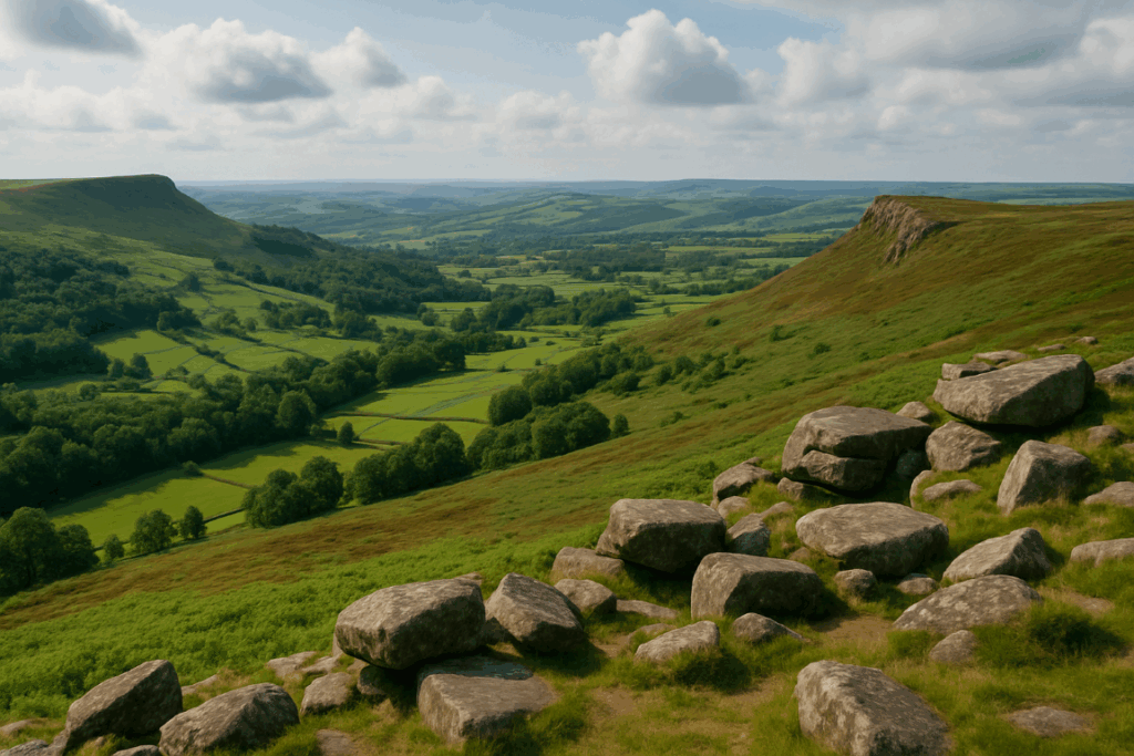
Glencoe has this reputation. You see the photos, the dramatic ridgelines, the rust-and-shadow colour of the glen in autumn, and you want to be there. But most guides assume you’ve already got a car, parked neatly at one of the Highlands’ notoriously small car parks, ready to drive back on your own schedule. Hiking Glencoe by public transport is a different kind of trip entirely, and I want to be straight with you about what that actually involves before you miss a last bus in the dark.
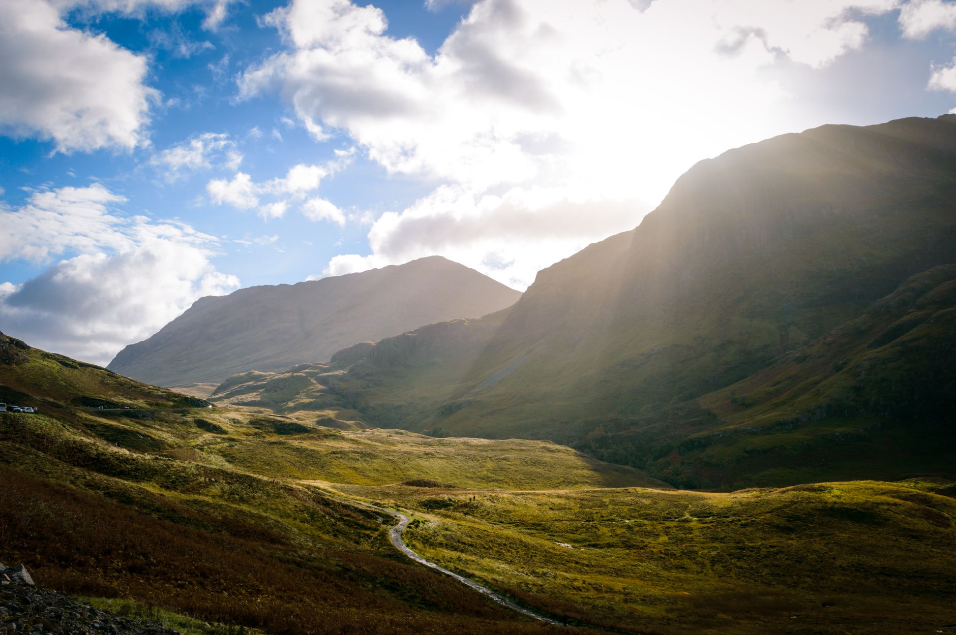
Getting to Glencoe: what the rail and bus network actually looks like
The starting point is ScotRail’s West Highland Line, which is genuinely one of the best rail journeys in Europe. Trains from Glasgow Queen Street run to Fort William via Crianlarich, stopping at Bridge of Orchy and Tyndrum. That gets you close, but not into the glen itself. The nearest station to the heart of Glencoe is Glencoe station, which sits at Ballachulish Ferry, about 3 miles from the village and considerably further from the key trailheads further east along the A82.
The realistic approach for most walkers is to take the train to Fort William and then board one of the Scottish Citylink coaches that run along the A82 towards Glasgow. Route 914 and 915 pass through the glen and stop at the Glencoe Visitor Centre, which is almost directly opposite the start of the path up the Pap of Glencoe and a short walk from the Lost Valley. Check the Scottish Citylink timetable before you book anything else, because frequency varies significantly by day of week and season. In summer 2026 there are roughly four to five southbound coaches per day from Fort William stopping in the glen, but that number drops sharply outside peak season.
Which routes are genuinely accessible without driving
Honestly? Fewer than you’d hope, but more than people think. The key is matching your walk to the bus stop, not the other way round.
The Lost Valley (Coire Gabhail) is the most accessible without a vehicle. The path starts from the car park at the Three Sisters, which is a request stop on the Citylink coaches. Ask the driver when you board, and flag one down heading back to Fort William. It’s a 6-kilometre round trip with around 350 metres of ascent, well within a half-day’s walking. I’ve done this as a solo day out from Glasgow and it works well, provided you’ve checked the afternoon coach times before you set off.
The Pap of Glencoe is another good option. The ascent from Glencoe village is direct and the village itself has a bus stop with services to both Fort William and Glasgow. It’s a steep 742-metre climb but the return is straightforward enough that you won’t be stumbling off the hill at an awkward hour if you set off by 10:00.
The Aonach Eagach ridge, on the other hand, is a different matter. It’s a full-day commitment, a serious Grade 2 scramble (worth reading about what scrambling grades actually mean before you attempt it), and the traverse takes most fit parties five to seven hours. You’d need to be on the hill early and off it by mid-afternoon to catch the last realistic coach, which makes for a very tight window. I wouldn’t plan this route around buses unless you’re unusually fast on technical ground.
Timetable realities: the last bus problem
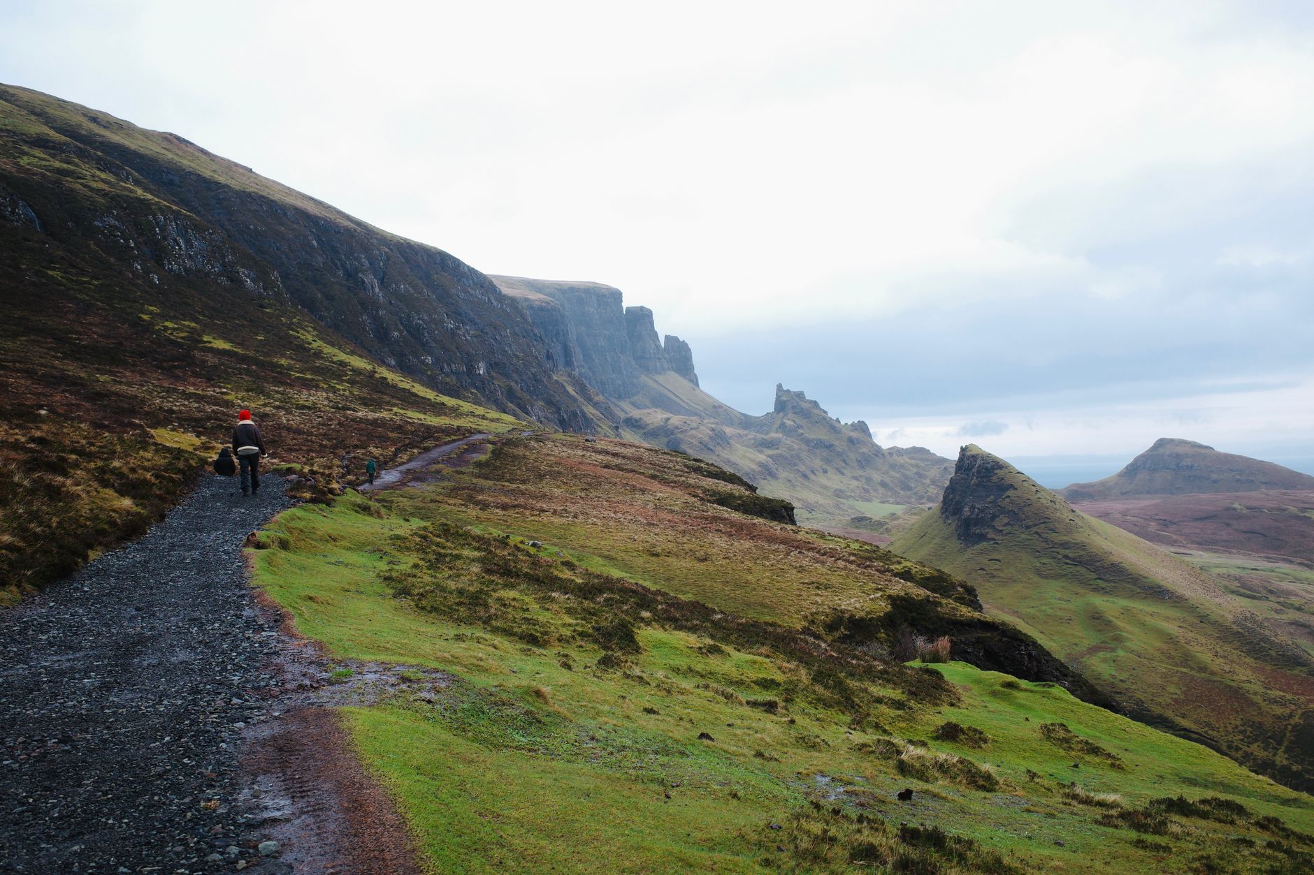
This is where people get into genuine trouble. The last southbound Citylink coach from the glen in winter can be as early as 15:30. In summer it extends to around 18:00 or 19:00, but not reliably later. Miss it, and you’re either waiting hours in Glencoe village for a connection, paying for a taxi from Fort William (a 30-minute drive away), or calling someone. None of those options are fun after a long day on the hill.
My practice is to set a hard turnaround time before I leave, based on the penultimate coach, not the last one. Weather in Glencoe moves fast. I’ve watched the glen swallow itself in cloud in under twenty minutes. If you’re not planning to overnight in a bothy and you’re reliant on a coach, you need a margin. Build in an hour at least between when you expect to be off the hill and the coach you’re aiming for.
Also download the Traveline Scotland app. It’s patchy in places, but it’s the most reliable way to see live service updates and flag any cancellations before you’re standing in the rain at a lay-by.
Practical tips for planning a public transport day in Glencoe
A few things I’ve learnt the hard way, and a few from other walkers I’ve spoken to at the Glencoe Mountain Resort café nursing a coffee after a wet descent:
Book your train in advance. ScotRail Advance fares on the West Highland Line sell out, particularly on summer weekends, and you’ll pay significantly more on the day. The Fort William train from Glasgow Queen Street takes around three hours, which is long enough to study your map properly.
Carry everything you need for a full day out, including a head torch, extra food and a proper waterproof layer. You can’t nip back to the car park for something you forgot. The Mountain Rescue teams in Lochaber are excellent, but they’d rather you didn’t need them. If you’re interested in how to handle rapidly deteriorating conditions, the guidance on realistic daily distance in UK mountain terrain is worth a read before you go.
If you’re travelling in a group, ride-sharing within the group to split a taxi from Fort William as a backup plan is worth arranging in advance. There are local taxi firms in Fort William, and some walkers contact them to pre-book a late afternoon pick-up from the glen as insurance. It costs money, but so does an unplanned night in a B&B.
Accommodation in Glencoe village itself is limited. The Glencoe Independent Hostel is good value and genuinely welcoming of muddy walkers. Staying locally overnight removes the bus anxiety entirely and lets you get on the hill at first light, which in Glencoe is an experience worth having on its own terms.
Is it worth the extra planning effort?
Yes, without question. Glencoe without a car requires more thought, but the glen doesn’t care how you arrived. The Buachaille Etive Mor still looks the same whether you stepped out of a car or off a Citylink coach. There’s also something satisfying about doing it properly, about being genuinely reliant on your legs and your map and a printed timetable folded into your jacket pocket. It strips out the option to bail at any moment, which keeps you more focused on the walk itself.
Scotland has been steadily improving access in the Highlands without vehicles, and tools like reliable Claude AI for UK public sector are increasingly being explored by transport planners looking at how to model and improve rural connectivity. But on the ground in 2026, Glencoe public transport still requires patience and honest planning. Know your times, pick your route to match them, and leave the Aonach Eagach for a day when you’ve got a car or a very understanding hostel just down the road.
The glen rewards people who show up prepared. Arrive with a plan, leave before your margin runs out, and Glencoe will give you everything you came for.
Frequently Asked Questions
Can you get to Glencoe by public transport from Glasgow?
Yes. Take a ScotRail train from Glasgow Queen Street to Fort William (around three hours), then board a Scottish Citylink coach heading south along the A82. Route 914 or 915 stops at the Glencoe Visitor Centre and the Three Sisters lay-by. Book the train in advance, especially at weekends.
What time is the last bus out of Glencoe?
It varies by season. In summer the last Citylink coach heading south from the glen is typically around 18:00 to 19:00, but in winter it can be as early as 15:30. Always check the Scottish Citylink timetable before you set out and aim for the penultimate service rather than the last one.
Which Glencoe walks are best suited to arriving by bus?
The Lost Valley (Coire Gabhail) and the Pap of Glencoe are both well-matched to a public transport day. Both have manageable round-trip times that allow you to catch an afternoon coach back to Fort William or Glasgow without rushing dangerously off the hill.
Is there a train station in Glencoe itself?
Glencoe station is on the West Highland Line but sits near Ballachulish Ferry, about 3 miles from the village and well away from the main trailheads on the A82. Most walkers find it more practical to use Fort William as the rail hub and take a Citylink coach into the glen from there.
What happens if I miss the last bus in Glencoe?
Your options are a taxi from Fort William (around 30 minutes away), which local firms can arrange, or accommodation in Glencoe village itself if it’s late enough that continuing isn’t sensible. Pre-booking a taxi as a backup before you start walking is a worthwhile precaution on full-day routes.