
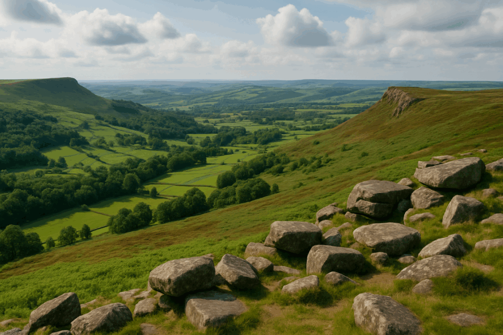
You’ve seen them on hilltops, moorland edges, and occasionally in the middle of a field that took you twenty minutes to reach through ankle-deep mud. That squat concrete pillar with the brass fitting on top. If you’ve spent any time walking in Britain, you’ve almost certainly rested a hand on one, maybe even sat on it for a sandwich. But most people have no idea what they actually are, how they came to be scattered across every corner of the country, or why a quietly passionate community of walkers has made collecting them into a genuine hobby. Trig point bagging UK style is a growing thing, and once you understand what these pillars represent, it’s easy to see why.
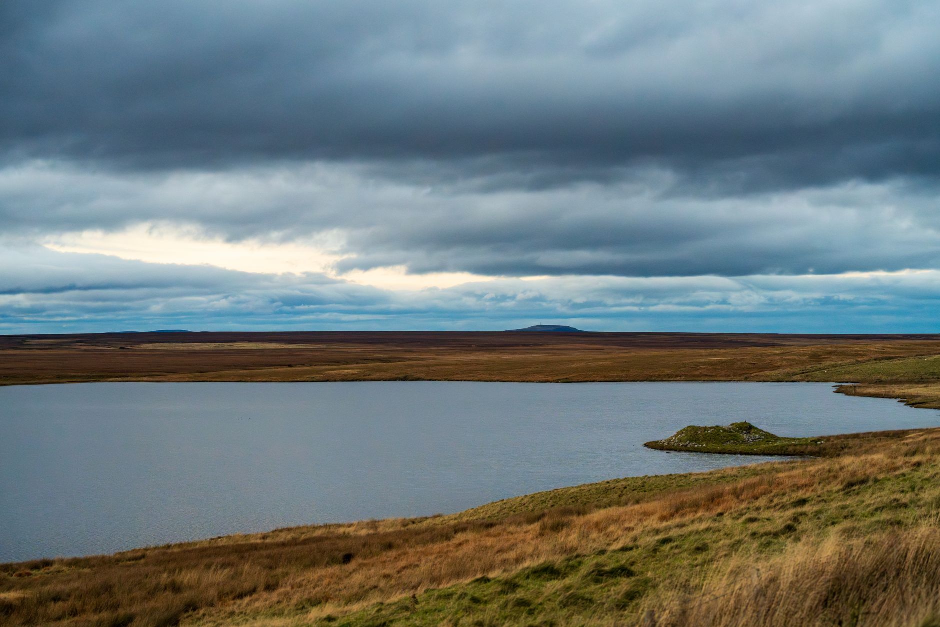
What a trig point actually is
The full name is triangulation pillar, and the clue is in that word. Ordnance Survey built 6,190 of them across Great Britain between 1936 and 1962 as part of a project called Retriangulation of Great Britain. The idea was to establish a precise, consistent network of fixed survey points from which every map in the country could be accurately drawn. Each pillar sits at a known, measured elevation and has a precisely recorded position. Get those points right, and everything else on the map follows.
The method is classical surveying. A theodolite, a precision optical instrument that measures horizontal and vertical angles, would be mounted on the brass fitting at the top of the pillar. Surveyors would then take sightings to other visible pillars on the horizon, triangulating positions across the landscape. Hence the name. The pillars are built from pre-cast concrete, typically 1.2 metres tall, and most have an underground bolt at the base for additional stability. A brass spider fitting sits in the top, which is what you’ll see if you peer down into the hollow centre.
Ordnance Survey no longer uses them for active surveying. GPS made the whole network redundant from the 1980s onwards. But the pillars themselves were built to last, and most are still standing, maintained now largely because walkers like them there.
Why are they always on high ground?
Triangulation only works if each pillar can see other pillars. So surveyors needed clear lines of sight across the landscape, which meant high ground, ridgelines, open moorland, and prominent summits. A trig point on a hilltop could potentially see six, eight, even a dozen other pillars on clear days. That’s why you find them where you do, the network was engineered around the topography of Britain itself.
Not all are on dramatic summits, though. Some sit in remarkably undramatic locations: flat coastal ground, agricultural land, urban fringes. These filled gaps in the network where sightlines were needed at lower elevations. The Holme Fen post in Cambridgeshire, which marks the lowest point in Britain at roughly 2.75 metres below sea level, has its own trig point of sorts, though the famous marker there is a cast iron post rather than a standard pillar. The OS website has the full background on the history of triangulation pillars if you want the technical detail.
The community behind trig point bagging UK
This is where it gets properly interesting. A website called TrigpointingUK has been logging visitor records for pillars across the country for years. At the time of writing, it has tens of thousands of logged visits from thousands of registered users. People photograph each pillar, record conditions, note whether the brass fitting is intact, and add it to their personal tally. Some are chasing all 6,190. Most are working through their local county, or collecting the pillars along a particular trail.
I first started paying attention to trig points properly whilst walking a long section of the Pennine Way. You pass several along that route, and once you’ve deliberately gone slightly off the path to touch one, you realise you’re going to do it every time. There’s something deeply satisfying about the physical act of reaching a fixed, known point in the landscape. It anchors you to the map in a very literal way.
The hobby attracts all kinds of walkers. Some are Munro baggers who’ve extended their collecting habit to include trig points as well. Others are lowland walkers who’ve found that chasing pillars gives purpose and direction to walks that might otherwise lack a clear objective. A retired geography teacher I met on the South Pennines moors had logged over 300 pillars across Yorkshire and Lancashire, working from a printed list he’d folded into his waterproof jacket pocket. He wasn’t interested in the highest or the hardest. He was just working through them systematically, one weekend at a time.
How to get started with trig point bagging
The barrier to entry is essentially zero. You need a pair of boots and a route to your nearest pillar. OS Maps (the app and the paper versions) marks every trig point with a small blue triangle symbol. You can also find your nearest ones through TrigpointingUK, which lets you search by postcode and shows whether a pillar has been recently visited and what condition it’s in.
A few practical things worth knowing before you go:
Not every trig point is on a public right of way or open access land. Some sit on private farmland or within restricted areas. Always check access before setting out, and don’t assume that the pillar being there means you have any automatic right to reach it. The right of way rules apply as firmly here as anywhere else, and trig point bagging is no excuse for crossing a fence you shouldn’t cross.
Photographing each pillar is the standard way of logging a visit. Most people take a shot of the brass fitting from directly above and a wider shot showing the surrounding landscape. Some bring a small logbook and leave a note inside the pillar itself, though this requires opening the inspection cover at the base, and not all pillars still have accessible covers.
If you’re planning a multi-day trip around trig points, it’s worth thinking about this alongside your wider route planning. I’d combine it naturally with reading up on planning a multi-day backpacking trip, since linking several pillars across a longer route is one of the best ways to add structure to an expedition without it feeling contrived.
Some trig points worth seeking out
Ben Nevis has one, naturally, at 1,345 metres. The pillar on Snowdon (or Yr Wyddfa, to give it the Welsh name it now officially carries) sits just below the summit café. Scafell Pike in the Lake District has one too. These are the obvious targets for peak baggers.
But the more interesting ones are often the obscure ones. The pillar on Black Hill in the Peak District sits in the middle of one of the most featureless, boggy plateaus in England, and reaching it in poor visibility requires actual navigation skills. The trig on Ditchling Beacon in the South Downs is accessible enough for a half-day walk from Brighton and gives a genuinely sweeping view across the Weald. Win Hill in the Peak District has a pillar on a sharp summit that rewards the climb with a view out over Ladybower Reservoir.
The point is that there’s no single right way to approach this. You can make it as easy or as demanding as you like. That’s probably why trig point bagging has quietly grown into one of the more inclusive outdoor hobbies going, because it stretches from a casual afternoon stroll to a years-long project covering every corner of Britain.
Start with your local one. It might be closer than you think.