
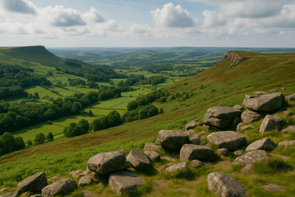
The cloud drops fast on British hills. One minute you have a clear view across a cwm or a corrie, and the next you are standing inside a grey wall with maybe ten metres of visibility. I’ve been there on the Carneddau, I’ve been there on the Mamores, and the experience is always the same: the landscape you were confidently reading disappears, and suddenly everything you thought you knew about where you are gets quietly rearranged. Navigation in fog on UK hills with a compass is one of those skills that sounds straightforward in a classroom but feels very different when the cold is in your fingers and the ground keeps doing something the map didn’t promise.
This guide is for walkers who already own a compass and a 1:25,000 OS map but haven’t truly stress-tested either of them. We’ll go through the practical sequence: setting a bearing, walking it accurately, using pacing as a check, leaning on handrail features when you can find them, and recognising the moments when GPS becomes a liability rather than a safety net.
Why fog changes everything about map reading
In clear conditions, you constantly cross-reference the terrain against the map without thinking about it. That ridge drops away to the left, that stream crosses your path, that summit pokes up at the bearing you expect. Fog strips all of that away. You lose the horizon, you lose distant landmarks, and you lose the visual confirmation that you are walking the right line. What remains is the ground immediately under your feet, the map in your hand, and whatever you can extract from a compass bearing.
The difficulty is that the ground immediately under your feet often looks the same in every direction when you are high on a broad plateau. This is where most navigation errors start. Walkers drift off the intended line, sometimes by just five or ten degrees, and over a kilometre that translates into a lateral error of 90 to 170 metres. On Kinder Scout or the Cairngorm plateau, that margin of error puts you in a completely different drainage, and in winter it can put you above a cornice.
Good contour line reading becomes even more critical in low visibility because the shape of the ground is your only reliable anchor to the map. Before the cloud closes in, train yourself to memorise the sequence of features you should encounter: the angle the slope steepens, the col you’ll cross, the small stream that runs left-to-right roughly 400 metres below the summit. When visibility is five metres, you navigate by sequence rather than sight.
Setting and walking a compass bearing accurately
Set your bearing before the fog gets thick if you can. Draw a line on the map from where you are to where you need to go, align the edge of your baseplate along it, rotate the bezel so the orienting lines sit parallel with the map’s northing grid lines, then lift the compass and rotate your whole body until the magnetic needle sits inside the orienting arrow. That’s your direction of travel. Simple enough on paper.
Walking the bearing is harder. The moment you look down at your feet, you lose the reference point ahead. The technique that actually works is this: take the bearing, pick the furthest object in that direction you can see (in fog, that might be a stone, a clump of grass, or your walking partner standing twenty metres ahead), walk to it without looking down, stop, re-check the bearing, pick the next object, repeat. This leapfrogging approach keeps you on the line far more reliably than trying to walk while holding the compass in front of you.
In a group, send someone ahead on the bearing to act as a marker. Call them back to re-check the bearing before they move on. Two people navigating in relay are significantly more accurate than one person doing everything alone.
Pacing: the underrated skill that keeps you honest
Pacing is counting your double-paces to measure distance. Most adults cover roughly 60 to 65 metres per 100 double-paces on flat ground, but that figure changes on steep ascent, in deep heather, or in soft snow. I’d strongly recommend working out your own pace count on a known distance before you rely on it in anger. Walk a 100-metre stretch of flat road twice and average your count, that’s your baseline.
On ascending terrain, add roughly 25 to 30 percent to your expected count. On a peaty plateau with ankle-deep bog, add more. The precision doesn’t need to be perfect; what pacing gives you is a moment to pause and question yourself. If you’ve been walking for what feels like 600 metres and haven’t hit the feature the map promised at 400 metres, something has gone wrong. That pause, that check, is what prevents a twenty-minute navigation error from becoming a two-hour one.
Count with a tally. Some walkers use a pebble moved between hands with each hundred double-paces. Others use a finger count. Whatever the method, don’t try to hold large numbers in your head when you’re cold, tired, and concentrating on not walking off a crag.
Using handrail features in low visibility
A handrail is any linear feature you can follow rather than steer across. A wall, a fence, a stream, a ridge line, the edge of a plantation. On a foggy mountain, a handrail is everything because it removes the error that accumulates with compass work over distance.
Before you set off, look at the map and ask: is there any feature running roughly in my direction that I can follow? Even if you have to walk an extra 200 metres to reach it, a wall that guides you to within 100 metres of your destination is usually faster and safer than a compass bearing across open ground. On the eastern flank of the Lake District fells, the dry-stone walls that divide the grazing are a navigational gift in fog. On the Cairngorm plateau, you have very little of this, which is why navigation there demands more precise technique.
When you reach the end of a handrail, you re-establish your compass bearing and switch back to pacing. The two methods work together rather than separately.
The GPS problem: what happens when signal drops at the worst moment
Phones and GPS devices are genuinely useful. I carry one; most experienced hill walkers I know carry one. But treating a GPS device as the primary navigation tool on UK hills is a habit that will eventually strand someone, and fog is often the condition that exposes it first.
Three scenarios I’ve personally encountered or heard described reliably: a phone battery at forty percent dying in two-degree temperatures within an hour; a GPS unit losing signal inside a deep col with no visible sky; a downloaded map app failing to load cached tiles after a software update. None of these would have mattered if the walker had a map, a compass, and the confidence to use them.
There’s also a subtler problem. When people have GPS, they stop reading the ground actively. They walk with their eyes on the screen. This means they are not building the mental picture of the terrain that lets you navigate when the screen goes dark. The compass and map force you to stay engaged with the landscape around you, which is a safety skill in itself. If you’re heading into a challenging upland environment, checking the mountain weather forecast before you leave and planning for GPS failure as a baseline assumption is far more sensible than hoping the signal holds.
Common mistakes walkers make in foggy conditions
Assuming the descent is where they think it is. On a plateau, every direction can feel like a reasonable way down. Without an accurate bearing, people descend the wrong side, sometimes into ground that is steeper and more serious than the intended route. Always establish a bearing before you start to descend.
Walking on a bearing that hasn’t been corrected for magnetic declination in Scotland. In much of northern Scotland, magnetic north is several degrees west of grid north. On a short leg this hardly matters, but over 800 metres it adds up to a meaningful lateral error. The OS guidance on magnetic declination is straightforward and worth reading before you head north of the central belt.
Moving too fast. Fog creates pressure to move quickly, partly because the cold sits in and partly because the uncertainty feels uncomfortable. Moving faster in poor visibility means committing to an error before you can correct it. Slow down, stop more often, and check the bearing from a stationary position.
Trusting a companion’s confidence over the evidence of the map. This is very human and very dangerous. If one person is certain they know the direction and the map says otherwise, stop and work through it properly together. I’ve seen groups follow the most confident voice straight off route, and confidence in fog is not the same as accuracy.
Building the skill before you need it
The time to practise compass navigation is not in a white-out on a remote ridge. Take a familiar hill and spend a day navigating exclusively by compass and pacing, even when you can see perfectly. Pick targets on the map, set bearings, pace the distance, see how close you arrive. Do this on progressively more complex terrain. The mountain rescue statistics show that a significant proportion of callouts involve walkers who were adequately equipped but lacked the navigation skills to use what they carried. A compass in the pocket of someone who has never practised with it is not a safety tool; it’s a paperweight.
Navigation in fog on UK hills with a compass is learnable. The techniques are not complicated. What they require is practice, calmness, and the discipline to trust the compass when your instincts are pulling you somewhere else. That last part is the hardest, and it’s the part that makes all the difference.