
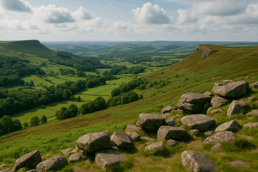

There is a moment, standing on the summit of Goatfell with the Firth of Clyde spread out below you and the Kintyre peninsula fading into the haze, when you genuinely forget this island is only 20 miles long. An Isle of Arran hiking weekend in Scotland delivers more per square mile than almost anywhere else I’ve been in Britain. Granite ridges, honest scrambles, coastal paths, a CalMac ferry that takes under an hour from Ardrossan, and no car required if you plan it right. That combination is rare enough to deserve proper attention.
Arran is often called ‘Scotland in miniature’, and while that phrase gets overused, it earns its keep here. The northern half is all high peaks and rough ground; the southern half is softer farmland and Arran Gold. Two days is enough to get a serious feel for the place, provided you don’t waste Saturday afternoon browsing the gift shops in Brodick.
Getting there: the CalMac ferry and what to expect without a car
The CalMac service from Ardrossan to Brodick runs multiple times a day, and the crossing takes roughly 55 minutes. You can check timetables and book through CalMac’s website. Foot passengers are cheaper and, honestly, less stress. Brodick village is right at the ferry terminal, accommodation is within walking distance of arrival, and the island’s bus network (Stagecoach Western) runs a circular route that covers Brodick, Corrie, Lochranza, and Blackwaterfoot. It is not frequent, but it works if you time your days around it.
Train connections from Glasgow Central to Ardrossan Harbour are regular and the whole journey from the centre of Glasgow to Brodick pier takes around 90 minutes. I’ve done it without a car twice now and never felt stuck. The key is downloading the Arran bus timetable before you lose signal on the ferry.
Day one: Goatfell and the ridge to Cir Mhor
Start early. The standard Goatfell route from Brodick via Cladach is well-marked and sees plenty of traffic, but the real reward comes if you push north from the summit along the ridge towards North Goatfell and then drop into Glen Rosa. This extended circuit takes around six to seven hours at a reasonable pace and involves some genuine hands-on scrambling above the col between Goatfell and North Goatfell. Nothing that warrants ropes, but enough to remind you that granite in damp conditions demands respect.
Goatfell itself sits at 874 metres. The view north from the summit ridge across Cir Mhor (799m) and the A’Chir ridge is one of the finest panoramas in the west of Scotland. On a clear October morning I’ve counted Jura, Islay, the Paps, Kintyre, and even a suggestion of Northern Ireland on the horizon. The granite here is rough and grippy when dry; it becomes a different proposition when wet, so check the forecast carefully. My piece on reading a UK weather forecast for a mountain day is worth revisiting before you commit to the ridge route.
For the descent, Glen Rosa is a beautiful, quiet valley that spits you back out near Brodick. The path is boggy in places after rain, which on Arran means most of the time. Gaiters are not optional here. Budget an extra 45 minutes if the ground is saturated, and don’t underestimate the final road walk back to the village.
Where to stay in Brodick without a car
Brodick has a good spread of options within walking distance of the ferry terminal. The Auchrannie Resort has a pool and feels slightly corporate for a hillwalking weekend, but the Glenartney guesthouse and several B&Bs along Alma Road offer comfortable, walker-friendly rooms at more sensible prices. There is also a campsite at Glen Rosa itself, which puts you right at the foot of the hills and cuts your morning walk by half an hour. If you want to push north for day two, the Lochranza Youth Hostel (SYHA) is excellent and directly on the Stagecoach route.
Book ahead. Arran fills up fast between May and September, and weekend availability can thin out quickly on summer bank holidays. October and early November are my preferred months: the crowds thin, the bracken turns rust-red, and the light on the granite is extraordinary.
Day two: the northern ridges and the Lochranza ferry option
The bus from Brodick to Corrie takes about 15 minutes and saves you a dull road walk. From Corrie, a path climbs onto the Caisteal Abhail ridge (859m), which is wilder and quieter than Goatfell and involves a proper scramble to the summit tors. I’d call it a Grade 1 scramble in most conditions, which means it is within reach of fit walkers with a head for exposure, but not a casual stroll. The understanding of common hiking injuries and how to prevent them matters on terrain like this, where an awkward step on wet granite can go wrong quickly.
From Caisteal Abhail you can descend into Glen Sannox and catch the bus south, or continue northwest to Lochranza, where a second CalMac ferry runs to Claonaig on the Kintyre peninsula. That option adds a logistical layer, but it does mean you can close a loop across two ferry crossings if you have the inclination. Most weekend walkers simply retrace to Glen Sannox and bus back to Brodick for the late afternoon ferry. That is the sensible call.
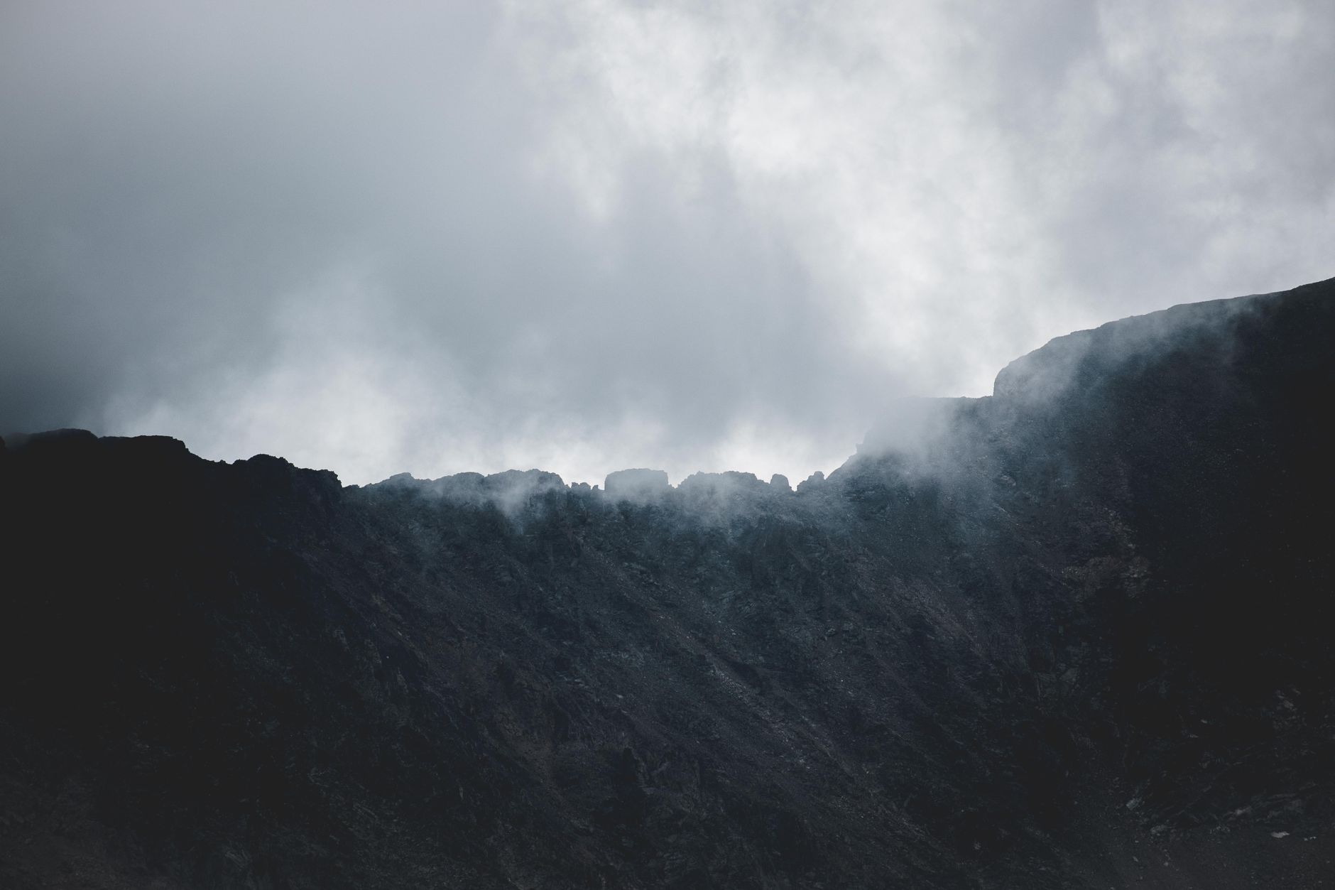
The northern section of Arran feels genuinely remote in a way that surprises people expecting a tame island day trip. The terrain here shares characteristics with parts of the Cairngorms or the rougher Snowdonia ridges: pathless in places, navigationally demanding in poor visibility, and unforgiving of poor footwear. A compass and the ability to use it are not optional. My notes on reading contour lines in real mountain conditions apply directly here, because the OS map of northern Arran looks pleasingly compact right up until you’re in the middle of it.
Why Arran punches above its weight as a hillwalking destination
You can pack a genuine mountain day, a scrambling ridge, coastal walking, and a very good plate of smoked venison into 48 hours without ever feeling rushed. The island’s compactness is a feature, not a limitation. Scottish hillwalking often demands long drives to remote glens; Arran is on your doorstep if you’re based in central Scotland, and it’s accessible enough from Manchester or Leeds via Glasgow on a Friday evening train that it works as a genuine weekend escape from England too.
The geology adds another dimension. Arran sits on a complex of granite intrusions that have created the kind of rough, angular summit terrain that feels Alpine in character without the altitude complications. There is no risk of altitude sickness at 874 metres, but the navigation, the exposure on the ridges, and the weather variability all make it a serious hillwalking environment rather than a gentle island stroll.
For walkers who’ve done the big Scottish mainland routes, Arran is not a step down. It is a different kind of challenge, concentrated and immediate. I’d put a clear two-day Goatfell-plus-northern-ridges circuit up against many Munro days for sheer quality of mountain experience. Pack waterproofs, gaiters, and something warm for the summit. The weather on Arran does what west-coast Scottish weather does, which is whatever it likes.
Frequently Asked Questions
How do I get to the Isle of Arran for a hiking weekend without a car?
Take a train from Glasgow Central to Ardrossan Harbour, then the CalMac ferry to Brodick, which takes around 55 minutes. The whole journey from central Glasgow is roughly 90 minutes. On the island, Stagecoach Western buses run a circular route connecting Brodick, Corrie, and Lochranza, which covers the main hiking starting points.
How hard is the Goatfell hike on Arran?
The standard route from Brodick via Cladach is a straightforward mountain walk suitable for fit, experienced walkers, reaching 874 metres. The extended ridge to North Goatfell involves some hands-on scrambling and requires confidence on exposed granite. Allow six to seven hours for the full Glen Rosa circuit and check the weather carefully before setting out.
What is the best time of year for an Isle of Arran hiking weekend in Scotland?
May to September offers the best settled weather, but October is arguably the most rewarding for hillwalkers, with fewer people, autumn colour on the bracken, and excellent light on the granite ridges. Winter walks are possible but require full winter hillwalking experience given the exposed and pathless terrain in the north of the island.
Where should I stay in Brodick for a hillwalking trip?
Several B&Bs and guesthouses on Alma Road are walker-friendly and within easy reach of the ferry terminal. The Glen Rosa campsite puts you at the foot of the hills. If you plan to hike the northern ridges on day two, the SYHA Lochranza Youth Hostel is an excellent and affordable option right on the bus route.
Is the A'Chir ridge and Caisteal Abhail suitable for non-scramblers?
Not really. The northern ridge circuit involving Caisteal Abhail and its summit tors is a Grade 1 scramble in good conditions, requiring comfort with exposed moves on rough granite. Walkers without scrambling experience should stick to Goatfell via the standard route and the Glen Rosa descent, which is a fine and fully satisfying day without the technical sections.
Leave a Reply