
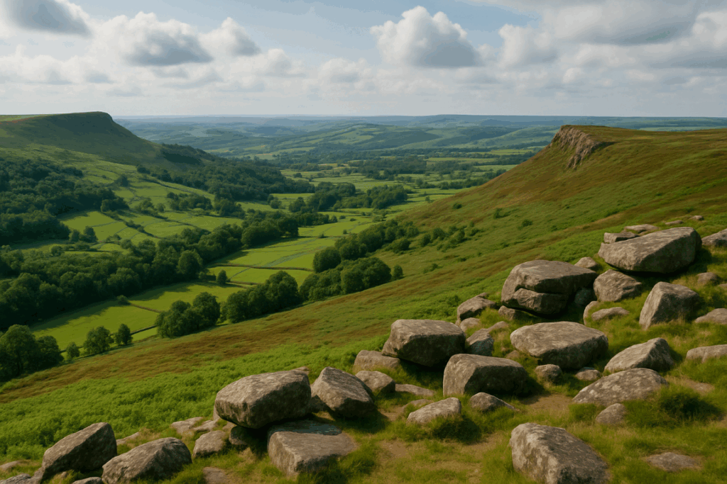

Mountain walkers tend to assume the coast will be easier. The logic makes sense on paper: no altitude to gain, no thin air, no sudden whiteouts. I made exactly that assumption the first time I walked a stretch of the Pembrokeshire Coast Path, somewhere between St Davids Head and Whitesands Bay, and within two hours I was humbled. The ground near the edge behaved nothing like mountain terrain. The gradient profile made no sense compared to a moorland day. And the sea, rather than being a scenic backdrop, was a constant variable I had no real framework for managing. This is a Pembrokeshire Coast Path walking guide aimed at people who, like me, come from a background of hills and moorland, and need to rethink a few assumptions before they get started.
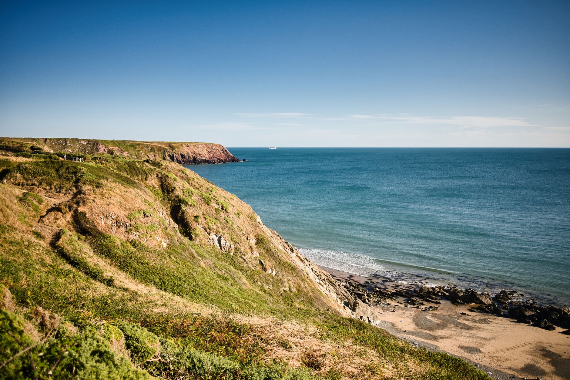
Why the Pembrokeshire Coast Path catches out experienced hikers
The path runs 186 miles around the Pembrokeshire coastline, taking in the full western peninsula of Wales from Amroth in the south to St Dogmaels in the north. At first glance, the numbers look manageable. But the Ramblers Association has long noted that the path involves around 35,000 feet of total ascent across its full length. That is more climbing than you would do on a standard Snowdon circuit repeated multiple times. The reason is the relentless up-and-down nature of coastal walking: every headland means descent into a cove and a climb back out on the far side. There is no contouring a slope the way you might on a broad ridge. The path goes down to the water and back up, again and again, all day.
For hill walkers used to sustained climbs followed by long ridge traverses, this is genuinely tiring in a different way. The muscle groups taking the strain shift constantly. I found my quads aching in places they rarely complain on a mountain day. If you are planning a multi-day section and thinking about how far you can realistically hike in a day, cut your usual estimate by at least a quarter when tackling the Pembrokeshire cliffs. The Naismith’s Rule distance will lie to you here.
Edge conditions: what mountain experience does not prepare you for
On a mountain, the edge of safe ground is usually obvious. Rock changes character, grass thins, exposure becomes apparent. On a sea cliff, the edge can be deceptive. Coastal erosion in Pembrokeshire is active and ongoing. The Pembrokeshire Coast National Park Authority reroutes sections of the path every year as cliff faces collapse. What looks like a solid grass turf platform near the cliff top can be undercut below, hollowed out by wave action or rain. I’ve seen patches that look absolutely walkable from a metre back and are missing completely underneath.
The practical rule is straightforward but worth stating plainly: stay on the path. This sounds obvious, but mountain walkers are accustomed to navigating freely across open terrain, cutting corners, stepping off-piste to get a better view. That instinct becomes dangerous on coastal cliffs. Straying towards the edge to peer at a cove below is the kind of habit that gets people into serious trouble. The path itself is almost always routed a safe distance back. Trust it. The National Park’s path management teams know exactly where the ground is unstable.
Wind is another factor that feels different by the sea. On a mountain, wind hits you from the direction of the weather system, and experienced walkers learn to read it. On coastal headlands in Pembrokeshire, particularly around St Ann’s Head or the exposed sections north of Strumble Head, gusts can be funnelled and deflected by cliff geometry in ways that are genuinely hard to predict. I have been hit by a lateral gust near a cliff edge that I simply did not expect from the direction of the prevailing wind. It was not dangerous in that instance, but it was a reminder that the standard mountain-walker toolkit for wind assessment needs recalibrating.
Tidal timing on coastal paths: a skill most inland walkers lack
This is the one that genuinely takes people by surprise. On moorland or mountain, the terrain is static. On a coastal path, certain sections, particularly beach crossings and cove traverses, only exist for a few hours either side of low tide. Get the timing wrong and you are either cut off, forced to retrace several miles, or making a dangerous decision at the water’s edge.
The most notable tidal crossing on the Pembrokeshire Coast Path is Aber Mawr and the sections around Barafundle Bay, but there are others less well signposted. Before walking any section that drops to beach level, check the tide tables for that specific location. The BBC Weather coast and sea tool gives local tide predictions, or use the Met Office app. Low water in Pembrokeshire does not mean the same thing as low water in the Severn Estuary, which has one of the largest tidal ranges in the world. The tidal range in west Pembrokeshire is more moderate, typically three to five metres, but still enough to completely transform what the path looks like at your feet.
A general rule: plan beach crossings for within two hours either side of low water. Build this into your daily schedule rather than treating it as a nice-to-have. If you are doing a multi-night wild camp or bivvy along the route, tidal timing also affects where you can pitch on or near a beach legally and safely. Never camp at the base of a cliff or in a cove without checking the high-water line first.
Navigation on the coast: simpler, but with specific traps
The Pembrokeshire Coast Path is waymarked with the acorn symbol throughout, and compared to navigating remote Scottish plateau or finding a ridge line in mist, the route-finding is straightforward. But waymarking does not mean navigation is irrelevant. Headlands in mist, and Pembrokeshire gets a lot of coastal haar in spring and early summer, can disorient you quickly. The sound of the sea helps, but it can echo around cliff faces in confusing ways.
Carry an OS Explorer map. OL35 and OL36 between them cover most of the path, and the detail they offer on cliff profiles, beach access points, and tidal inlets is genuinely useful. A compass and the basic skills covered in any solid map-reading background will serve you well enough for most of the route, but do not rely on a phone signal for navigation in the more remote northern sections. Coverage between Fishguard and Cardigan is patchy at best.
Kit adjustments for coastal conditions
Your mountain kit is largely fine. Waterproofs, layering, sturdy boots: all correct. A few specific points worth making for Pembrokeshire specifically.
Boot grip matters in a different way here. On mountain rock, you are managing friction on vertical faces. On coastal paths, you are managing slippery wet grass on steep descents into coves, sometimes with a significant drop to one side. Worn boot soles are genuinely more dangerous on coastal grass than on mountain rock. Check the tread before you go.
Sun exposure catches many hikers out. On a mountain you tend to be moving through variable shade and the altitude keeps temperatures moderate. On a south-facing coastal path in Pembrokeshire in May or June, you can be walking into full sun for hours with the sea reflecting additional UV upwards. Factor 30 minimum and a cap are not optional kit. The reflected glare alone is something that mountain walkers rarely account for.
Finally: salt. After a few days on the coast path, metal buckles corrode, zips stiffen, and boot leather takes a hammering from salt spray and wet grass. Rinse boots at the end of each day if you can and check your pack buckles. It sounds like a small thing, but losing a pack strap buckle on day three of a five-day section is not a problem you want.
Which sections to tackle first if you’re new to coastal walking
If this style of walking is new to you, the south Pembrokeshire sections around the Castlemartin Peninsula and between Tenby and Manorbier are a good starting point. The terrain is exposed and the cliffs are real, but the gradients are slightly more forgiving and the path is very well maintained. The northern sections between Fishguard and St Dogmaels are some of the most remote and physically demanding walking in Wales, full stop. Save those for once you’ve got coastal legs under you.
The stretch around St Davids Head and out to Ramsey Sound is as good as coastal walking gets in Britain, in my view. But it is also where the edge conditions and wind exposure are at their most serious. Walk it in settled weather, watch the forecast with the same seriousness you would before heading into the mountains, and give it the respect it deserves. The Pembrokeshire Coast Path walking guide will tell you it is a moderate route. Experienced mountain walkers know that moderate is a word that covers a great deal of ground.
Frequently Asked Questions
How hard is the Pembrokeshire Coast Path compared to a mountain walk?
The full 186-mile path involves around 35,000 feet of total ascent due to constant up-and-down between headlands and coves. Many experienced hill walkers find the relentless short climbs more tiring than a sustained mountain ascent, so plan your daily mileage conservatively.
Do I need to worry about tides on the Pembrokeshire Coast Path?
Yes, several sections involve beach crossings or cove traverses that are only safe within a couple of hours of low tide. Check local tide tables before walking any section that drops to beach or rock level, and build tidal timing into your daily schedule.
Is the Pembrokeshire Coast Path safe near the cliff edges?
The path is managed and rerouted regularly by the Pembrokeshire Coast National Park Authority as coastal erosion is active. Stay strictly on the marked path and resist the urge to approach cliff edges for a better view, as the turf near the top can be undercut and unstable.
Leave a Reply