
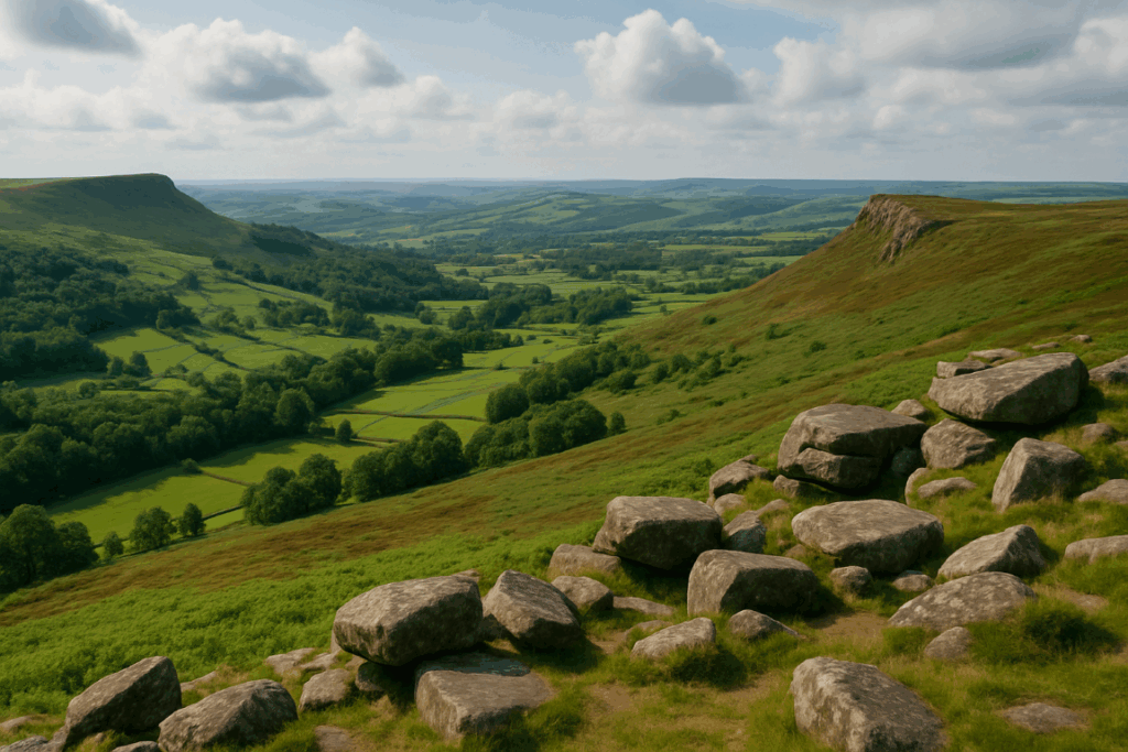

If you’ve typed “Brecon Beacons” into a map app recently and noticed something feels different, you’re not imagining it. In 2023, the national park authority formally adopted Bannau Brycheiniog as the primary name for the park, moving the Welsh name to the front after decades of the English version doing all the heavy lifting. As someone who’s been tramping these hills for years, I want to cut through what that actually means for anyone planning a walk, because there’s a lot of noise and very little practical information out there.
What the renaming actually means in practice
The short version: the landscape hasn’t shifted a centimetre. Pen y Fan is still Pen y Fan. The Beacons Reservoir is still there. The hill paths are just as boggy in November as they ever were. What changed is branding and emphasis, and the reasoning behind it is worth understanding rather than dismissing.
The national park authority said the move was part of a broader effort to celebrate Welsh identity and language. Bannau Brycheiniog translates roughly as “peaks of Brycheiniog”, Brycheiniog being the old Welsh kingdom that covered the area. The Brecon Beacons National Park Authority updated its official communications, website, and new signage to lead with the Welsh name, though the English name hasn’t been wiped from existence. On OS maps, on road signs put up before the change, and in plenty of existing guidebooks, “Brecon Beacons” still appears. You’ll see both names used interchangeably for years yet, possibly decades.
For practical navigation purposes, your existing OS Explorer maps (OL12 and OL13 cover the main ranges) remain completely accurate. The grid references, contour lines, and path markings are unchanged. If you’re booking accommodation, searching for car parks, or looking up visitor centres, searching either name will get you where you need to go. The visitor centre at Libanus, near Brecon, is still open and still signed as it was.
What the park actually looks like on foot
Bannau Brycheiniog covers around 520 square miles of southern Wales, and it isn’t one uniform landscape. That’s something even experienced walkers get wrong before their first visit. The park splits fairly naturally into four distinct areas, each with a different character.
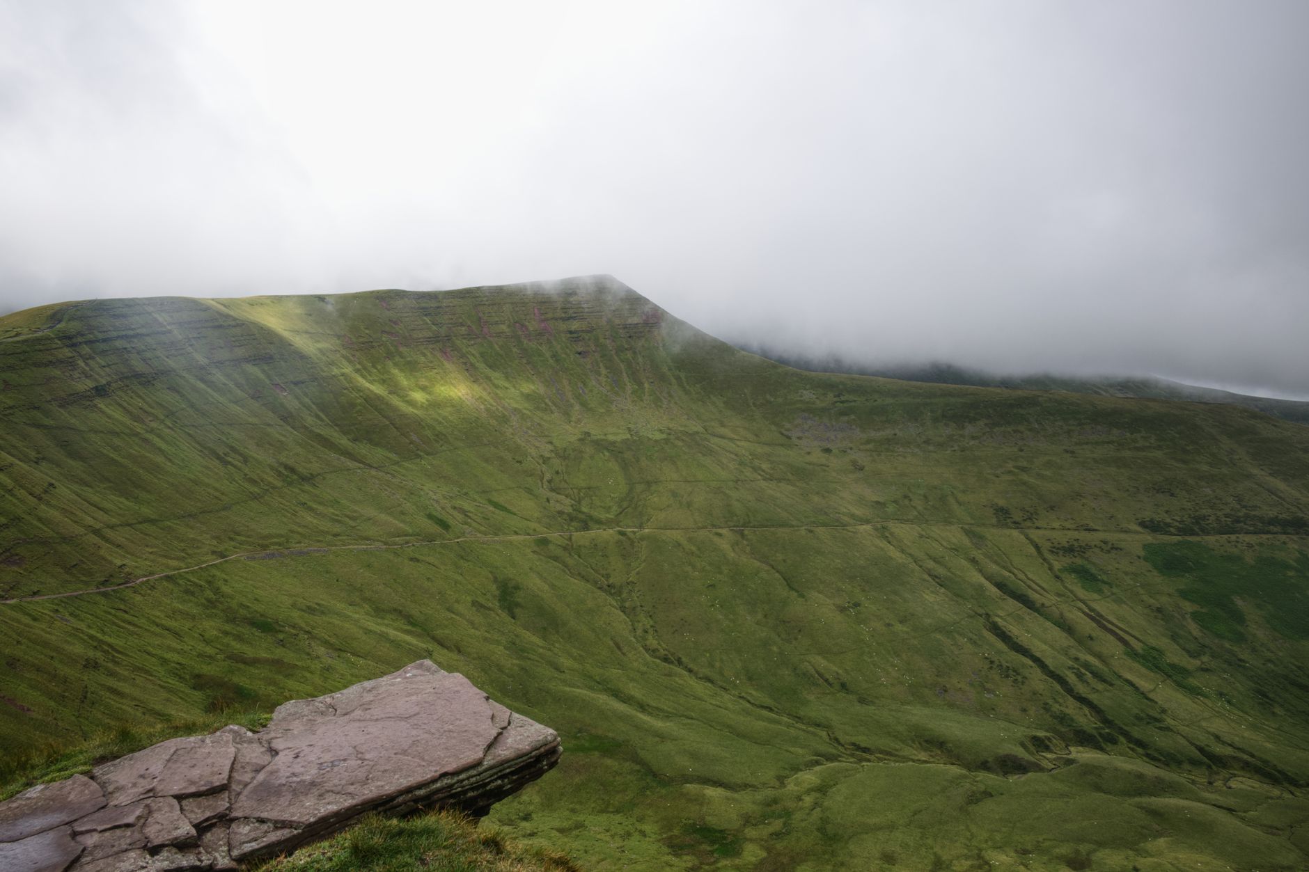
The central Beacons range is what most people picture: the dramatic north-facing escarpment rising to Pen y Fan at 886 metres, its flat-topped ridgeline visible from miles away. The classic horseshoe route taking in Corn Du, Pen y Fan, and Cribyn is rightly popular, but popular means eroded paths and crowds on sunny weekends. I’d argue the approach from the Neuadd reservoir car park on the south side gives you the same summit with a fraction of the foot traffic and a much better sense of the scale of the ridge.
The Black Mountains in the east are quieter, more rolling, and frankly underappreciated. The Offa’s Dyke Path clips the eastern edge of the park here, and the ridge above Llanthony Priory is one of my favourite half-day walks in the whole country. No scrambling, no technical difficulty, just a long green ridge with enormous views down into Herefordshire.
Fforest Fawr, the western section of the park, is where the waterfalls are. The Waterfall Country around Pontneddfechan has a concentration of falls including Sgwd yr Eira, where a path runs behind the curtain of water, that genuinely surprises people who haven’t been before. It’s accessible and spectacular, though the paths can get very muddy indeed. Bring gaiters.
The Black Mountain (singular, not to be confused with the Black Mountains) sits in the far west and is the wilder, lonelier end of the park. The approach to Fan Brycheiniog across the boggy moorland of Glasfynydd Forest is the kind of walk where you want solid navigation skills. The terrain here shares more than a passing resemblance to the peat bogs that catch walkers off guard across many upland areas of the UK: deep, soft ground that looks firm until it isn’t.
Walking here by season: what to expect
Spring (March to May) is probably my favourite time. The hills are green, the waterfalls are at their fullest after winter rain, and the ridge paths haven’t yet been churned up by summer boots. You’ll need waterproofs; this is Wales, and weather can change fast above 600 metres. Snow can still sit on the higher ground well into March in a cold year.
Summer brings the crowds to Pen y Fan, particularly from June through August. If you’re set on the summit, go early or go on a weekday. The car park at Pont ar Daf fills by 9am on a clear Saturday. That said, summer evenings on the long ridges of the Black Mountains are genuinely special, and the lower gorge walks through the waterfalls are cool and shaded when everywhere else is baking.
Autumn strips the bracken to russet and gold, and the moorland takes on that particular quality of light that only comes in October. The park is noticeably quieter from September onwards, and I’d pick a clear mid-October day on the Beacons ridge over any summer weekend without hesitation.
Winter walking here demands respect and proper kit. The plateau above Pen y Fan can hold snow and ice for weeks, and wind chill on the exposed ridges is brutal. Navigation becomes genuinely challenging in low visibility. I’d recommend having solid experience with map and compass before tackling the high ground in December or January; this is the kind of terrain where mountain rescue teams earn their reputation.
Which walks suit which ability levels
There’s a genuine range here, which is one of the park’s strengths.
Complete beginners are well served by the canal towpath walks around the Monmouthshire and Brecon Canal, a flat 35-mile stretch between Brecon and Pontypool that runs through beautiful scenery with no navigation demands whatsoever. The Taff Trail, running from Cardiff into the heart of the park, is partly off-road and suitable for families.
Moderate walkers with some hill experience will find the Brecon Beacons Horseshoe, the ridge walks in the Black Mountains, and the waterfall trails around Ystradfellte all achievable and rewarding. These routes typically involve between 300 and 600 metres of ascent.
Stronger hikers looking for longer days can link the four summits of the main Beacons range in a single outing, or tackle the Beacons Way, a 95-mile long-distance path crossing the park from Abergavenny to Llangadog. How far you can realistically cover in a day depends heavily on fitness and conditions, but the Beacons Way sections between Brecon and the Black Mountain are some of the most rewarding multi-day walking in Wales.
Getting there and getting around
The park has no railway station inside its boundaries. Abergavenny is the most useful rail access point for the Black Mountains, while Merthyr Tydfil gives you a starting point for the central Beacons. Bus services into the park are limited, particularly to the higher car parks, so most walkers arrive by car. The park authority does run seasonal bus services to Storey Arms and Pont ar Daf in summer months; it’s worth checking the national park website before you go if you want to avoid the car park situation at peak times.
Whatever name appears on the sign as you cross into the park, the walking is excellent. Bannau Brycheiniog doesn’t need a rebrand to be one of the finest upland landscapes in England and Wales. It already was.
Frequently Asked Questions
Why did the Brecon Beacons change its name to Bannau Brycheiniog?
The national park authority adopted Bannau Brycheiniog as the primary name in 2023 to celebrate and promote the Welsh language and the area’s Welsh cultural identity. Bannau Brycheiniog is the original Welsh name for the park, meaning roughly ‘peaks of Brycheiniog’, referring to the ancient Welsh kingdom that once covered the region.
Do I need new maps now the park has been renamed?
No. Your existing OS Explorer maps (OL12 and OL13) remain accurate. The renaming is a branding and language change, not a geographical one, so all paths, contour lines, and grid references are unchanged. New editions of OS maps will gradually update to lead with the Welsh name, but older editions are still perfectly usable for navigation.
What is the easiest walk in Bannau Brycheiniog for beginners?
The Monmouthshire and Brecon Canal towpath is the most accessible option: flat, well-surfaced, and 35 miles long between Brecon and Pontypool with easy access points along the route. For something with a bit more scenery, the lower waterfall trails around Pontneddfechan are short, well-signed, and suitable for most fitness levels.
Is Pen y Fan safe to climb in winter?
Pen y Fan can be climbed in winter, but it requires proper preparation. The summit plateau can hold ice and compacted snow for extended periods, making trekking poles and microspikes advisable. Wind chill above 800 metres can be severe, and visibility can drop to a few metres in cloud. If you’re not confident with map and compass navigation in those conditions, wait for a clear day or go with someone experienced.
How long does the Pen y Fan horseshoe walk take?
The classic horseshoe taking in Corn Du, Pen y Fan, and Cribyn from the Pont ar Daf car park is around 10 to 12 kilometres with roughly 600 metres of ascent, and typically takes between 3.5 and 5 hours depending on pace and conditions. Allow extra time in winter, or if you’re stopping frequently on the ridge.
Leave a Reply