
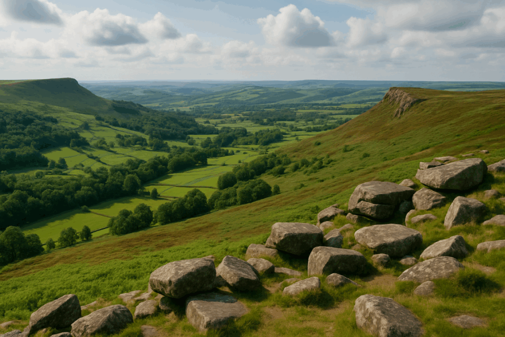
Dartmoor doesn’t look threatening on a map. No Munros, no exposed ridgelines, no glaciated cwms dropping away beneath your feet. The highest point, High Willhays, is 621 metres above sea level. By Scottish standards, that’s barely a hill. But I’ve spoken to walkers who’ve come unstuck on Dartmoor in ways they never have on Snowdon or in the Cairngorms, and every time, the reason is the same: they underestimated it precisely because it looked manageable.
The moor has a particular kind of hostility. It doesn’t announce itself with drama. It just quietly and methodically dismantles your confidence until you’re standing in ankle-deep peat water staring at a featureless grey horizon with no idea which lump of tussock grass is north. Walking Dartmoor safely is its own discipline, and it deserves to be treated as such.
The navigation problem: no landmarks, no obvious routes
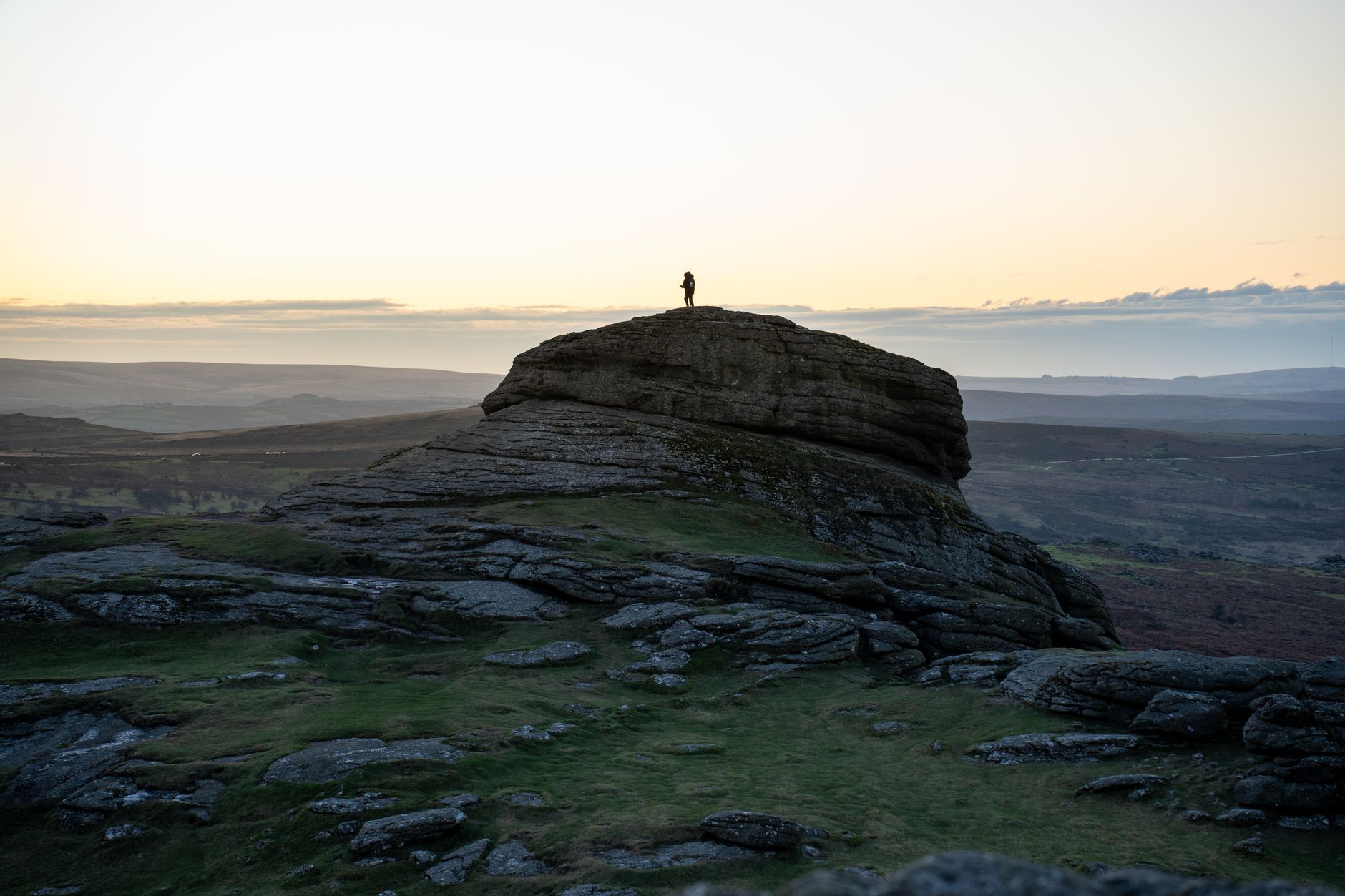
Most walkers rely on landmarks without knowing they’re doing it. You pick a ridge, a tree line, a distinctive summit. On Dartmoor, you get granite tors, and while they’re brilliant once you know them by sight, to a newcomer one rounded cluster of weathered rock looks a great deal like the next. The plateau between Princetown and the northern moor is genuinely featureless in a way that makes map-and-compass skills non-negotiable.
I’d argue this is where Dartmoor exposes walkers who’ve got comfortable with GPS tracks and digital mapping. Both are useful, and I’m not one of those purists who refuses to carry a phone. But on a day when the mist drops to 200 metres and your battery runs down, the ability to take a bearing from a 1:25,000 OS map and walk it accurately is the thing that gets you back to the car park. The moor is crossed by numerous ancient trackways, some of which vanish entirely in the summer grass. Following what looks like a path can lead you sideways for half a mile before you realise you’ve been shadowing a sheep track.
If you want to build those skills before heading out, spend some time walking on ground where you can afford to make mistakes and then correct them. The principle of triangulating your position between two or three known points isn’t complicated, but it needs practice before the mist comes down.
The bogs: they’re not dramatic, and that’s the danger
Dartmoor holds water the way a sponge does. The underlying granite is impermeable, rainfall is high (Princetown averages over 2,000mm per year), and the blanket bog that covers much of the northern moor has been accumulating for thousands of years. The classic hazard is the featherbed bog: a wide, apparently flat area of bog moss, Sphagnum, that looks like firm ground from a distance and bounces underfoot before suddenly giving way.
I’ve sunk to my knee on Dartmoor on a dry day in June. The surface had been baked to a crust by a fortnight of warm weather and looked completely solid. The bog underneath had not dried out at all. Gaiters are essentially mandatory rather than optional kit here, and the right footwear matters more than on a well-drained mountain path.
The deeper hazard areas on the northern moor around Cranmere Pool and Fur Tor are well documented, but the boggy ground isn’t confined to those obvious spots. Anywhere the ground flattens out and the grass goes very green and lush should make you slow down and probe with a pole before committing your weight. If you’re interested in how blanket bog ecosystems actually work and why they’re so ecologically important, our piece on walking UK peat bogs and why hikers have learned to love them covers the science in some depth.
Weather that moves faster than you’d expect
The Met Office lists Dartmoor as one of the wettest upland areas in England. More importantly, the weather can change with a speed that’s genuinely disorienting. I’ve started a walk in clear sunshine out of Okehampton and been in zero-visibility fog forty minutes later having covered only a couple of kilometres. The moor sits at the intersection of Atlantic weather systems and can be enveloped in cloud while the surrounding lowlands remain sunny.
Cold is also more of a factor than the altitude suggests. The open plateau has no shelter and wind chill on an exposed granite hillside at 550 metres in January is serious business. Hypothermia risk on Dartmoor is real, particularly for walkers who’ve dressed for a low-level walk and been caught by a rapid weather deterioration. Always check the Met Office mountain forecast for Dartmoor before you head out, not just the standard local forecast, which often misses what’s happening at plateau level.
The layering principles that apply in the Scottish Highlands apply here too. A waterproof and an insulating mid-layer belong in your pack even when the forecast looks reasonable.
The right-to-roam situation: more complex than you’d think
Dartmoor had, until recently, been the only place in England and Wales where walkers had an explicit right to wild camp on open access land. That right was legally challenged in 2023 and eventually restored, but the episode made clear how contested access to the moor remains and how easily long-established freedoms can be disrupted. As of 2026, wild camping is again permitted on the open moorland managed by the Dartmoor National Park Authority, but there are exclusion zones around certain areas and camping near roads, buildings, and enclosures is not permitted.
The broader right-of-way picture on Dartmoor is also more layered than on, say, an open Scottish hillside. Much of the military training land in the northern moor is closed during live-firing exercises. The Ministry of Defence publishes firing times and the red flags are flown when access is restricted, but walkers need to check the official firing programme on gov.uk before heading into those zones. Getting this wrong isn’t just a legal issue; it’s a safety one.
For anyone who wants a thorough grounding in how rights of way work more generally across England and Wales, our guide to how UK mountain rescue teams work is worth reading alongside the access question, since Dartmoor’s Mountain Rescue teams deal with a disproportionate number of callouts given the moor’s modest elevation.
How to actually prepare for Dartmoor
Start with OS Explorer maps OL28 (Dartmoor) at 1:25,000 scale. Know how to use them with a compass. Carry a fully charged battery pack for your phone, and download the area offline in whatever mapping app you use. Tell someone your route and expected return time; it’s old advice, but the moor’s patchy mobile coverage means this matters.
On gear: waterproof trousers, not just a jacket. Full gaiters, not ankle gaiters. Trekking poles for bog testing and balance. A spare dry layer in a waterproof stuff sack. A whistle. A headtorch even for a day walk, because the mist can reduce visibility enough that the torch becomes useful even in daylight.
Routes for first-timers should stick to areas with reliable navigational reference points. The loop around Hound Tor and Haytor is popular and well-marked. The walk from Two Bridges to Wistman’s Wood is short, atmospheric, and the ancient oak wood gives you something to navigate towards. Save the northern plateau for when you’ve learnt how the moor feels underfoot and can read a bearing with confidence.
Dartmoor earns its reputation not through height but through character. Give it the same respect you’d give any mountain environment, take the navigation seriously, and check the weather and the firing programme before you leave. Do those things and the moor rewards you with something genuinely rare in England: a landscape that still feels wild. Neglect them and it will remind you, in its quiet and methodical way, that lowland doesn’t mean safe.
Frequently Asked Questions
Is Dartmoor dangerous to walk on?
Dartmoor carries real risks despite its modest elevation. Rapid weather changes, extensive boggy terrain, and featureless navigation conditions have caught out many experienced walkers. Proper map-and-compass skills, appropriate clothing, and checking the military firing programme before heading into northern areas are essential.
Can you wild camp on Dartmoor?
Yes, wild camping is permitted on open moorland within the Dartmoor National Park, following the restoration of access rights in 2023. Campers must stay away from roads, buildings, enclosed farmland, and certain designated exclusion zones. Always check the Dartmoor National Park Authority’s current guidance before heading out.
What maps do I need for walking Dartmoor?
OS Explorer OL28 (Dartmoor) at 1:25,000 scale covers the whole moor and is the standard choice. A physical copy is strongly recommended alongside any digital mapping, since the moor’s patchy mobile signal makes relying solely on a phone risky.