
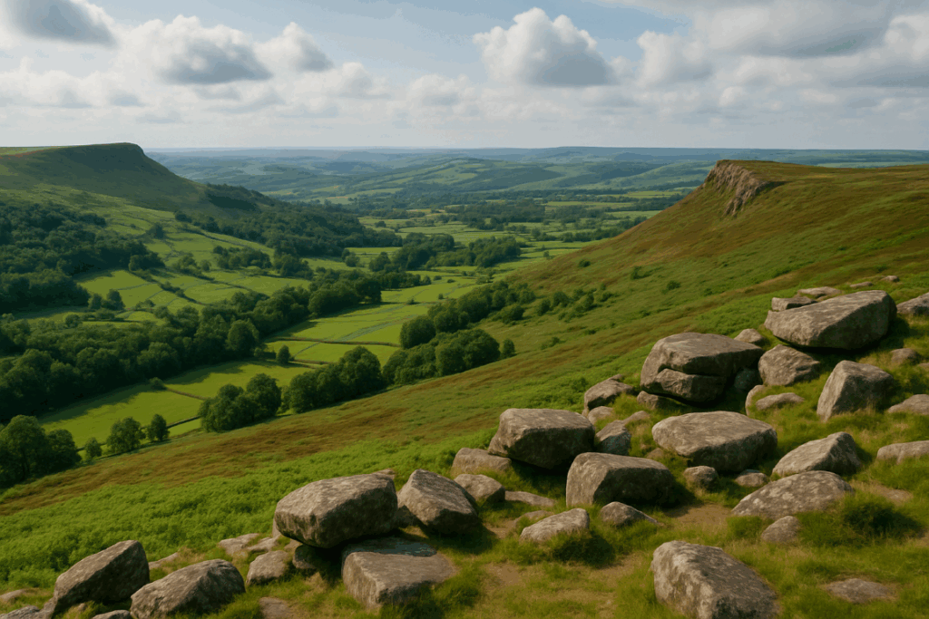
If you’ve stood at the summit of Snowdon on a July weekend and thought, “this is not what I came here for,” you’re not alone. The Pyg Track and Miners’ Track are genuinely brilliant paths, but they can feel like a conveyor belt in peak season. I’ve done both, more than once, and I don’t regret a single step. But Snowdonia is far bigger than one mountain and two paths, and some of the finest ridge walking in Wales sits within an hour’s drive of Pen-y-Pass, waiting for walkers who are comfortable with a map and a bit of navigation. These are the quiet ridge walks Snowdonia deserves to be known for.
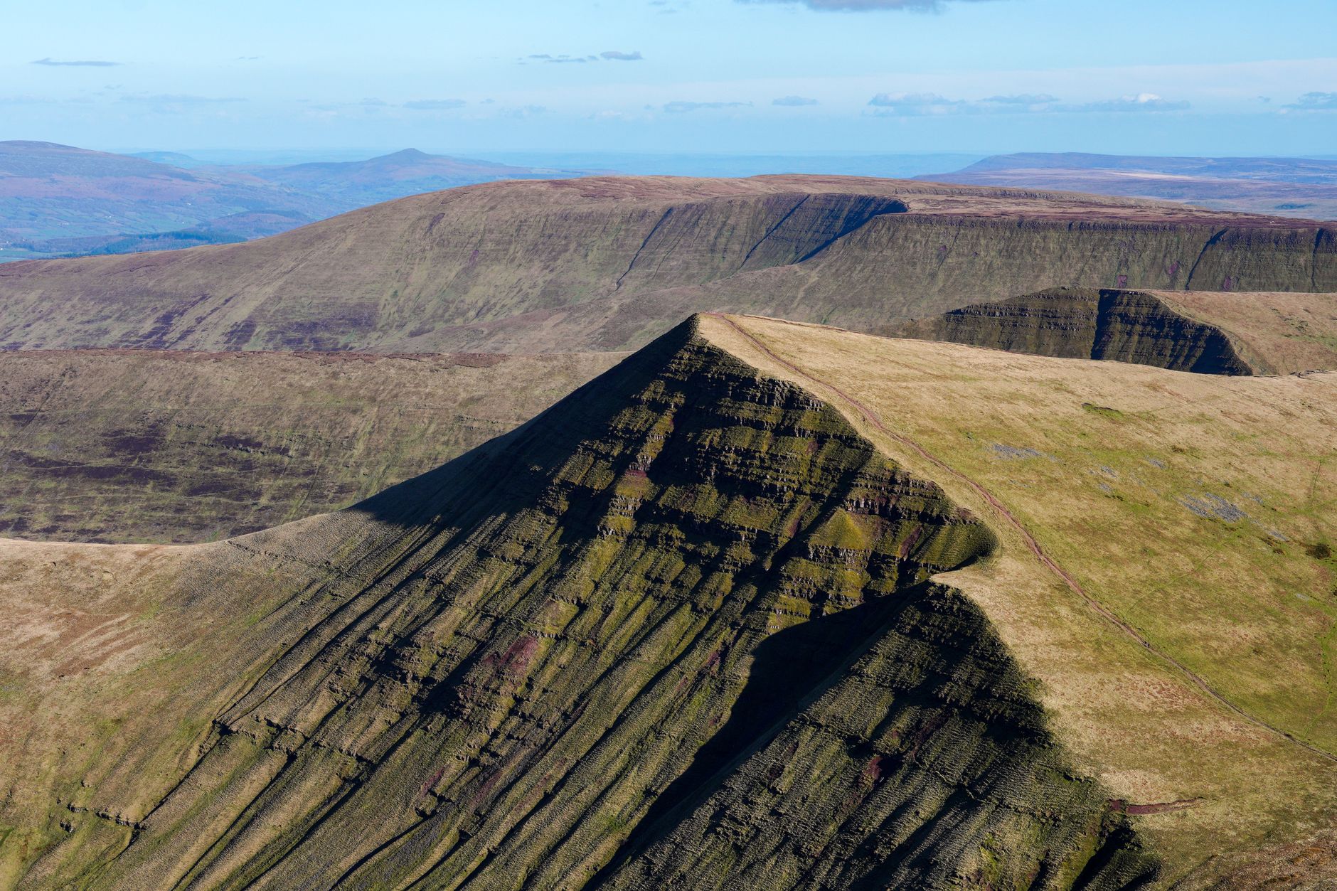
Why experienced walkers should look beyond the Snowdon routes
The Snowdon massif draws well over half a million visitors a year, according to the Snowdonia National Park Authority, and the pressure on the Pyg and Miners’ Tracks is visible in the eroded stone and the queues at the summit café. That’s not a criticism of the people who walk them. It’s simply a reason to spread out.
The ridges I’m going to talk about require you to read contours, use a compass on occasion, and accept that the path underfoot will sometimes be faint or absent. If that sounds off-putting, it probably means you’re not quite ready for them yet, and that’s fine. If it sounds like exactly what you’ve been missing, read on.
The Nantlle Ridge: Snowdonia’s best-kept secret
I’d go as far as saying the Nantlle Ridge is the finest full-day ridge walk in Wales that most people have never done. It runs south-west from Rhyd Ddu for roughly 7 miles, crossing nine summits including Y Garn (633 metres), Mynydd Drws-y-coed, and Trum y Ddysgl. The terrain is narrow in places, with genuine exposure on the south side, and the path is intermittent enough that you’ll be glad of a 1:25,000 OS map.
The access point at Rhyd Ddu is served by the Welsh Highland Railway, which is worth knowing if you’d rather not drive a loop route. The far end at Tal-y-Llyn Ogwen drops you somewhere less convenient for public transport, so most walkers arrange a lift or wild park a second car. I’ve done it both ways. The train option is the more satisfying one, especially if you finish at dusk and need something warm.
One honest note on difficulty: the descent from Craig Pennant at the western end requires care in wet conditions. The grass is steep and the rock underneath it is unforgiving. This is not a route for road trainers or casual kit. If you’re unfamiliar with managing the kind of ankle and knee stress that technical descents create, treat the Nantlle as a goal to build towards.
The Glyderau: drama without the Snowdon crowds
The Glyderau group, centred on Glyder Fawr (999 metres) and Glyder Fach (994 metres), sits directly north of Snowdon across the Llanberis Pass, yet it sees a fraction of the foot traffic. The landscape up there is genuinely alien: a chaos of shattered boulders, the famous Cantilever Stone, and the castle-like arrangement of rocks at Castell y Gwynt. There’s nothing quite like it elsewhere in Wales.
A circuit from Ogwen Cottage taking in Tryfan, Glyder Fach, and Glyder Fawr via Y Grib is a serious day out. Tryfan in particular demands hands-on scrambling in its upper section, which puts it into Grade 1 scrambling territory. If that’s new to you, it’s worth understanding how underestimating technical terrain leads to trouble for first-timers and adjusting your ambition accordingly.
The Glyderau sit on open access land under the Natural Resources Wales framework. There are no restrictions on where you walk outside of ground-nesting bird exclusion zones in spring, which are usually signed. You’re free to choose your line, which is exactly the kind of independence this ground rewards.
Cwm Silyn and the Eifionydd uplands
South-west of the Nantlle, the hills drop away towards Pwllheli and the Llŷn Peninsula, and most walkers never come this far. Cwm Silyn is a quiet corrie with a small lake and impressive crags that attract rock climbers but relatively few hill-walkers. The ridge above it connects to Craig Cwm Silyn (734 metres) and on to Garnedd-goch, and you can make a varied half-day circuit that involves almost no one else.
This is a good area to explore if you’re building confidence for the longer Nantlle Ridge. The navigation is less demanding, the terrain is slightly more forgiving, and the views south towards Cardigan Bay on a clear day are genuinely special. I’d pack lunch and sit somewhere up on the ridge for a while. That’s the point of going somewhere quiet.
Welsh access land: what the rules actually mean for walkers
Wales introduced its own access rights framework under the Land Reform (Scotland) Act equivalent in spirit, but the relevant legislation for England and Wales is the Countryside and Rights of Way Act 2000 (CRoW). Under CRoW, walkers have the right to access mapped open access land on foot, which covers most of the upland in Snowdonia. The land is shown in purple on OS Explorer maps.
Access can be restricted temporarily by landowners for land management reasons, typically for up to 28 days per year, and permanently for safety or conservation. In practice, closures in Snowdonia are rare and usually signed. The most common restriction you’ll encounter is on the Carneddau during red kite and peregrine nesting season in early spring. Keep an eye on the Natural Resources Wales website if you’re planning a visit between March and June.
There’s also a distinction between open access land and public rights of way, which matters when you’re descending towards farmland. On the open hill, you can go where you like on foot. Once you drop below the access boundary into enclosed fields, you must use the footpath network. A 1:25,000 OS map showing both the access land boundary and the rights of way is essential on routes like these, not optional.
Practical notes before you go
Most of these ridges involve considerable height gain and loss on ground that is frequently wet underfoot. The Glyderau in particular can hold snow on north-facing aspects well into April, sometimes May. I’ve been caught out by frozen ground on Glyder Fawr in late March when the valley was mild and green, which is a reminder that upland conditions can change fast even on what appear to be straightforward mountain days.
Carry a full set of waterproofs, a navigation kit you actually know how to use, and enough food and water for a day that takes longer than expected. The Nantlle Ridge in particular has no bail-out options once you’re past the midpoint; the ground to either side is steep and the farms below are private. Commit to the full route or turn back early.
Mobile signal is patchy across most of Snowdonia. Register your route with someone before you leave and give them a return time. The mountain rescue teams covering this area are volunteers, and as anyone who’s looked into how UK mountain rescue teams actually work will know, every unnecessary callout costs real time and effort. Go prepared.
Snowdonia beyond the Pyg Track is a different kind of walking. It’s slower, quieter, and asks more of you. In return, you get ridge lines with no one else on them, views that feel earned, and the particular satisfaction of navigating your own line across wild ground. That’s what I came to the mountains for in the first place.
Frequently Asked Questions
What are the quietest ridge walks in Snowdonia for experienced hikers?
The Nantlle Ridge, the Glyderau traverse from Ogwen, and the Cwm Silyn circuit near the Eifionydd uplands are all significantly less busy than Snowdon’s main routes. They require solid navigation skills and appropriate hill-walking kit, but reward those efforts with genuine solitude.
Is the Nantlle Ridge harder than the Snowdon Pyg Track?
Yes, considerably. The Nantlle Ridge is a full-day outing covering nine summits with narrow, exposed sections and an intermittent path. The Pyg Track is well-made and straightforward. The Nantlle requires competent map and compass navigation and good fitness.
Can you walk the Glyderau without a guide in Snowdonia?
Yes, if you’re an experienced hill-walker comfortable with Grade 1 scrambling terrain. Tryfan’s summit section requires hands-on movement, and the boulder field approaching Glyder Fach demands care. A 1:25,000 OS Explorer map and compass are essential; GPS alone is not sufficient.
What are the access land rules for walking in Snowdonia?
Most of Snowdonia’s upland is mapped open access land under the Countryside and Rights of Way Act 2000, giving walkers the right to roam on foot. Temporary restrictions can apply for land management or conservation reasons. Once you descend into enclosed farmland, you must stick to public rights of way.
What time of year is best for quiet ridge walks in Snowdonia Wales?
Late autumn and winter offer the greatest solitude but demand winter skills and kit. Spring can be beautiful but north-facing ground holds snow into April. September and October give good visibility, shorter days, and far fewer people than summer. Avoid July and August if you want the ridges to yourself.