
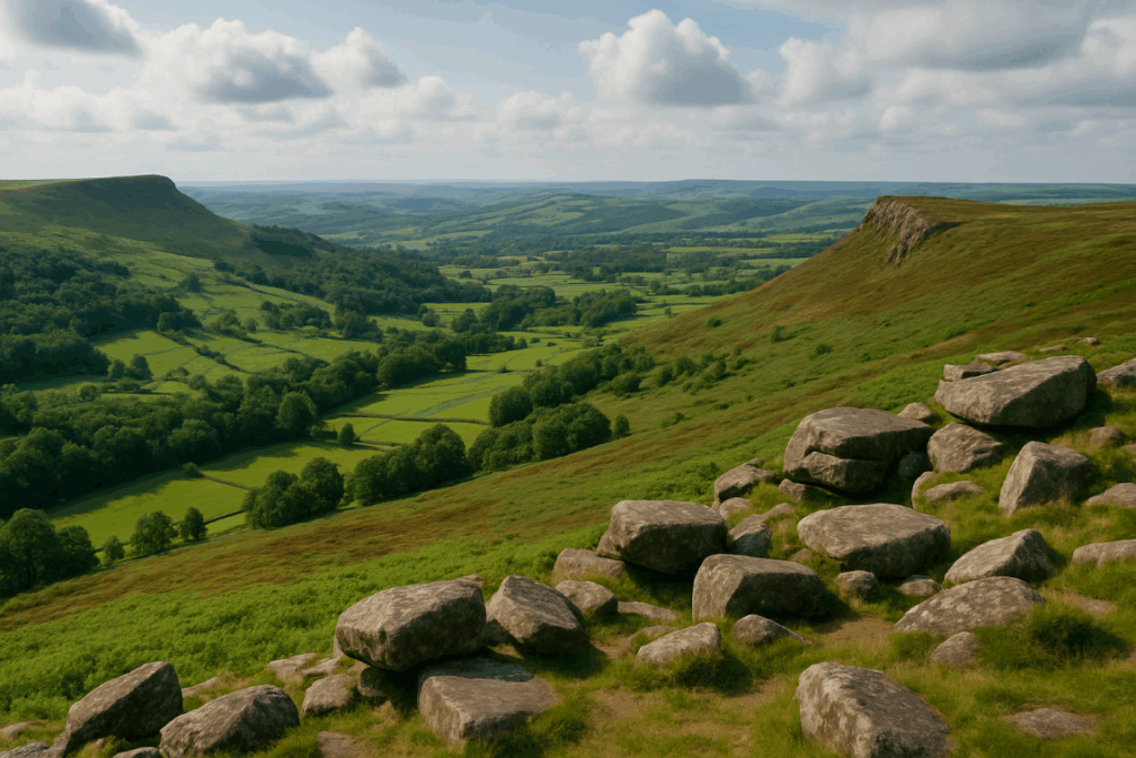

The most common mistake people make about the Cambrian Way is treating it like a National Trail. It isn’t one. There is no acorn signpost every few hundred yards, no guaranteed path underfoot and no neat run of campsites and pubs a day apart. It is a roughly 300-mile line from Cardiff Castle to Conwy that stays on the high ground wherever it can, and that is exactly why it matters: if you plan it like the Offa’s Dyke Path, it will bruise you.
The Cambrian Way crosses Wales from south to north over the Brecon Beacons (Bannau Brycheiniog), the Black Mountain, the Cambrian Mountains, Cadair Idris, the Rhinogydd and Snowdonia. It has no official status as a National Trail, relies on walkers who can navigate, and is one of the least completed big routes in Britain. This is a practical look at what it asks of you.
What is the Cambrian Way, exactly?
The Cambrian Way is a long-distance walking route devised by Tony Drake, designed to link the best of the Welsh uplands rather than the easiest line between two cities. Distances vary by source and by the variants you choose, but around 300 miles is the usual figure. From Cardiff it climbs out over Caerphilly Mountain, heads up through the Black Mountains and the Beacons, crosses the empty Black Mountain in the west, then runs on through the Cambrian Mountains and Plynlimon country. After that come the big northern set pieces: Cadair Idris, the Rhinog range, the Arenigs and Snowdon, before it finishes over the Carneddau to the walls of Conwy.
Some of its summits are familiar. Pen y Fan is 886 metres, Penygadair on Cadair Idris is 893 metres and Snowdon is 1,085 metres. The bigger challenge is the stretches in between, which most walkers have never heard of.
Why is the Cambrian Way so hard?
The Cambrian Way is hard because it combines relentless climbing, pathless ground and thin logistics over a few weeks of continuous effort. Any one of those is manageable. Together they wear you down.
Start with the ascent. Guidebook totals vary depending on route choices, but the sum is enormous, and the route rarely lets you recover. You drop to a valley for a road crossing or a resupply, then climb straight back to 600 metres or more. Compared with a trail that contours round hills, the Cambrian Way keeps going over them.
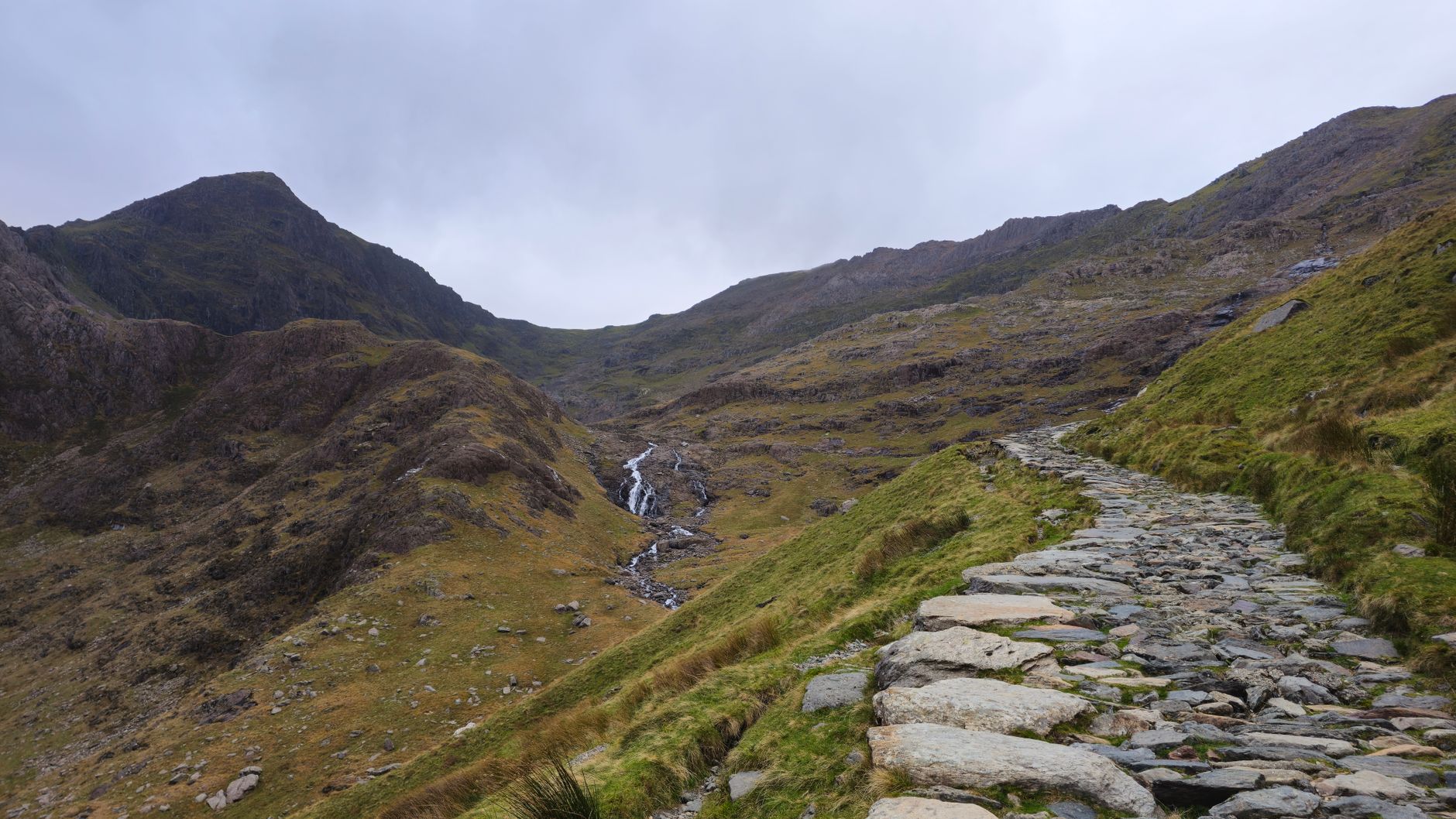
Then there is the ground. The Rhinogydd are famously rough, with heather hiding boulders so that a mile can take an hour. The Cambrian Mountains and Black Mountain have long, boggy, featureless stretches where a path may be a faint line or nothing at all. Add autumn and winter weather, and your daily mileage falls well below what the map suggests. If you plan to walk it out of season, read about how upland erosion is changing popular mountain paths to understand why some of the line is so fragile and others barely exists.
Navigation on the Cambrian Way
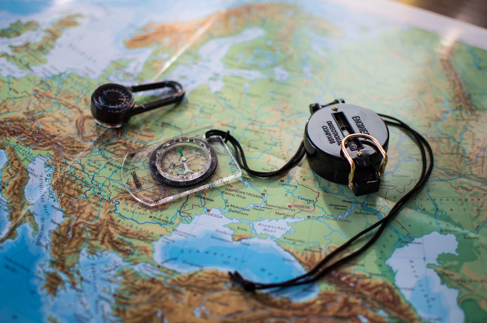
Navigation is the real filter. Waymarking is patchy, and on the open hills you are often following a map line across ground with no features to catch you out or confirm your position. In cloud, that means compass bearings, pacing, timing and the ability to relocate when you are wrong. Phone mapping helps, but batteries die and signal in mid Wales is unreliable.
If you are not already fluent at this, build the skills before you commit. Our guide to essential navigation skills for remote trails covers the basics, and you should be doing them without thinking, in poor visibility, with cold hands. Check the Mountain Weather Information Service forecast for the mountain areas you are crossing each day, not the valley town you slept in.
Why so few people finish
There is no official count of finishers that I would quote, but the pattern is clear from how the route is walked: far more people do sections than the whole line. The reasons are practical rather than mysterious.
- Time. Walking it end to end takes weeks, which is more annual leave than most people have.
- Resupply. Some stretches are far from shops, and accommodation is sparse in the middle. Wild camping in Wales generally needs the landowner’s permission, so you cannot just pitch anywhere.
- Attrition. Feet, knees and morale give out. Long boggy days are tougher on the body than steep ones.
- No infrastructure. With no National Trail funding behind it, there is less signage, less publicity and less of a crowd to keep you going.
That last point is also what makes it appealing. You will often have whole days to yourself.
Three ways to walk the Cambrian Way
Because of all that, the question for most experienced walkers is not whether to do it but how. This table compares the three realistic approaches.
| Approach | Time needed | Best for | Main drawback |
|---|---|---|---|
| Continuous end to end | A few weeks | Walkers with leave to spare and proven multi-day fitness | Weather, injury and resupply risk build up with no easy exit |
| Sections over several trips | Long weekends or week blocks across a year or more | Most working hillwalkers | Transport logistics, and repeated travel to remote trailheads |
| Highlights only | A few days to a week | Walkers who want the best hills without the bog | You miss the linking miles that give the route its character |
Section walking is where logistics matter most. Trailheads in mid Wales sit at the end of narrow lanes, cattle grids and rutted farm tracks, and public transport between them is limited. Many walkers end up using a car or van as a base, and that vehicle takes a beating on those roads. If yours is an older van or 4×4, sort out its running gear before a long autumn campaign, and the Forged Chassis product range is one place to see what is on offer.
Who should pick which approach
Pick the continuous walk only if you have done several consecutive days of 15 to 20 miles in mountain terrain and enjoyed it. You also need to be happy navigating alone in cloud and to carry a heavier pack than a normal day walk requires.
Pick sections if you are busy, or if you want to choose your weather. Walk each stage in good conditions, bail out when it turns, and come back. The route rewards patience.
Pick the highlights if you want the Cambrian Way’s scenery without its sustained effort. The Black Mountains, the Beacons, Cadair Idris and the Snowdonia finish are all superb as standalone walks. Compared with something like the Offa’s Dyke Path, which is shorter and waymarked throughout, the Cambrian Way is a different kind of commitment: more skill, more risk and more self-sufficiency, for a route with far less company.
My advice is to start with a single section in the Black Mountains or Beacons, in daylight and decent weather, and see how the navigation and the ground feel. Then build your fitness with a structured plan such as our 12-week long-distance training programme, and plan your first full stage for spring.
Leave a Reply